Catalog Archive
Auction 158, Lot 72

"Carte Reduite du Golphe de St. Laurent Contenant l'Isle de Terre-Neuve et Partie de la Coste des Esquimaux...", Bellin, Jacques Nicolas

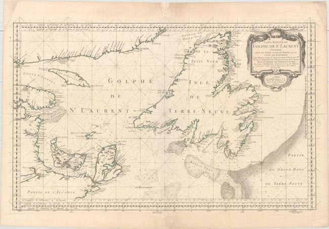
Subject: Gulf of St. Lawrence, Canada

Period: 1754 (dated)

Publication: L'Hydrographie Francoise…

Color: Hand Color

Size:
33.8 x 20.9 inches
85.9 x 53.1 cm
Download High Resolution Image
(or just click on image to launch the Zoom viewer)

This large-scale, copper engraved map shows St. Lawrence Bay with Anticosti Island, Prince Edward Island (Isle St Jean), Cape Breton Island (Isle Royale), Newfoundland and the adjacent mainland. Numerous place names are identified along the coastlines, and a few topographical details are shown inland. The waters are filled with soundings, anchorages, rocks, and shoals, and the fishing banks are delineated, including the Banc aux Balaines (whale bank). The map is adorned with a decorative rococo-style cartouche. This is the first state of the map according to Kershaw.

References: Kershaw #583.

Condition: B+

On watermarked paper with a two short fold separations closed on verso with archival material and one small rust spot along the centerfold.

Estimate: $300 - $400

Sold for: $220

Closed on 6/22/2016

Archived