Catalog Archive
Auction 158, Lot 444

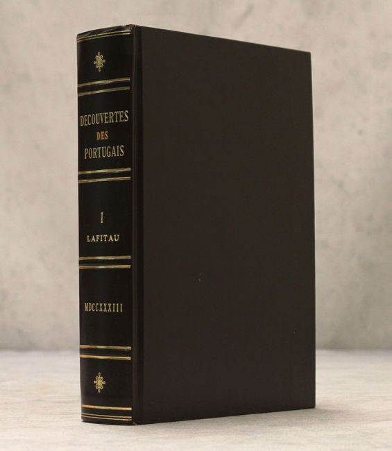
"Histoire des Decouvertes et Conquestes des Portugais dans le Nouveau Monde ... Tome Premier",

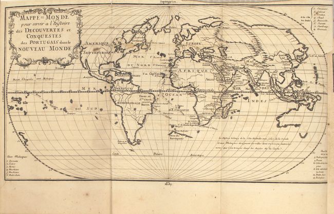
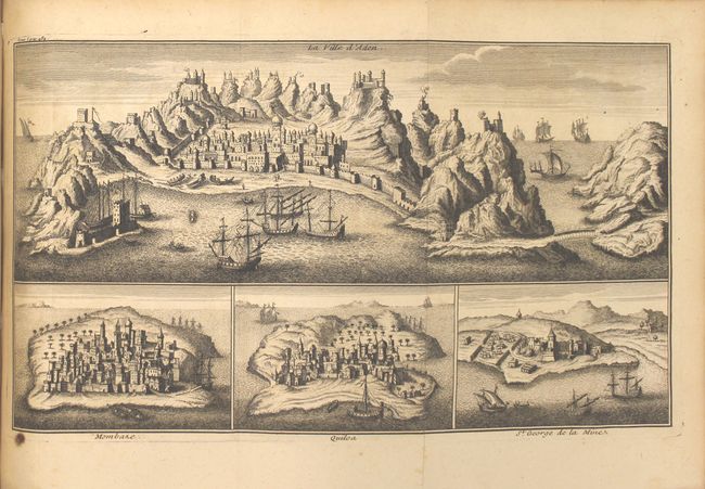
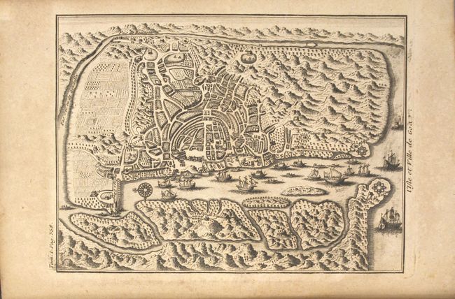
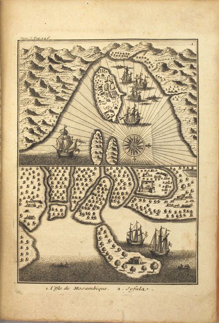
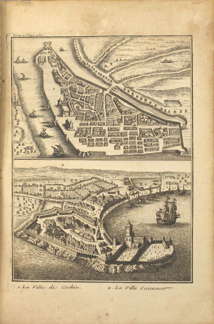
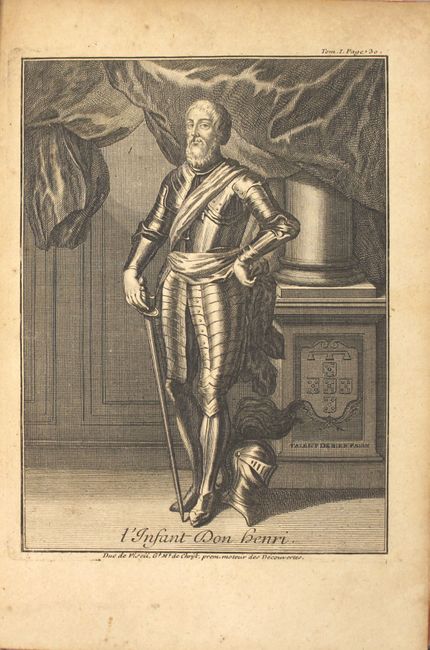
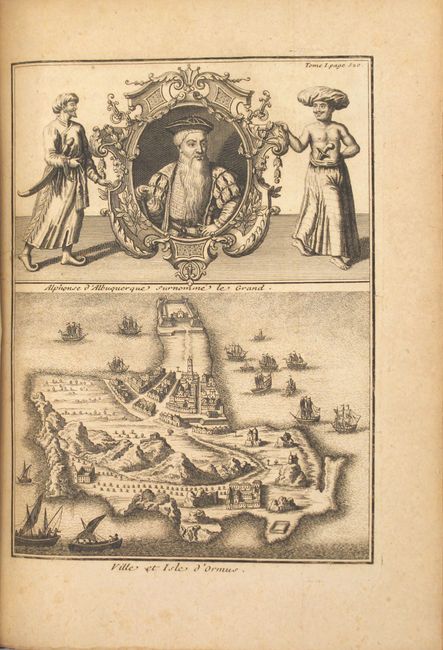
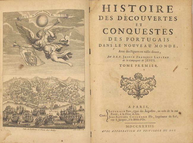
Subject: Exploration & Surveys

Period: 1733 (published)

Publication:

Color: Black & White

Size:
7.5 x 10.2 inches
19.1 x 25.9 cm
Download High Resolution Image
(or just click on image to launch the Zoom viewer)

This is the first volume of the first edition of Jean-Francois Lafitau's two-volume work on the Portuguese discoveries in the East Indies, China, Japan, and Melanesia. Lafitau was a Jesuit missionary who is is best known for his use of the comparative method in the field of scientific anthropology and for his discovery of ginseng. This volume includes a folding world map on an oval projection, Mappe=Monde pour Servir a l'Histoire des Decouvertes et Conquestes des Portugais dans le Nouveau Monde. The map is fairly simple, with only rivers and major mountain ranges depicted, and place names along the coasts only in the eastern hemisphere. The most interesting feature is a partial coastline in the south Atlantic labeled Terre des Perroquets, believed to be part of the great southern continent. No mountains are shown in North America, and the Northwest is left blank. Australia appears in a rudimentary shape with only partial coastlines. The routes of several Portuguese explorers are shown, including Magellan, Cabral and da Gama. Also included in this volume are one fold-out and 7 full-page engravings. These include:

A. [Fontispiece] Ville de Lisbone et Flote des Indes
B. [Portrait] L'Enfant Don Henri
C. Reception des Portugais a la Cour de Congo
D. La Ville de Cochin [on sheet with] La Ville Cananov
E. l'Isle de Mozambique [on sheet with] Sofala
F. [Fold-Out Engraving] La Ville d'Aden [on sheet with] Mombaze [and] Quiloa [and] St. George de la Mines
G. Alphones d'Albuquerque Surnomme le Grand [on sheet with] Ville et Isle d'Ormus

Published by Saugrain and Coignard. xxiv, 616 pp. plus index. Quarto, professionally rebound in faux brown leather with gilt tooling and title on spine, and new endpapers.

References:

Condition: B+

The world map has light offsetting, a few small stains, a short fold separation at top, and a 1" binding tear at right. The other engravings are all in very good condition with very light toning and an occasional spot of soiling. The text is tight with occasional moderate toning and foxing, and the first 20 and last 30 pages are wrinkled with some edges chipped. The new bindings are excellent.

Estimate: $800 - $950

Sold for: $600

Closed on 6/22/2016

Archived