Catalog Archive
Auction 158, Lot 41

"La Terre du Nord", Aa, Pieter van der
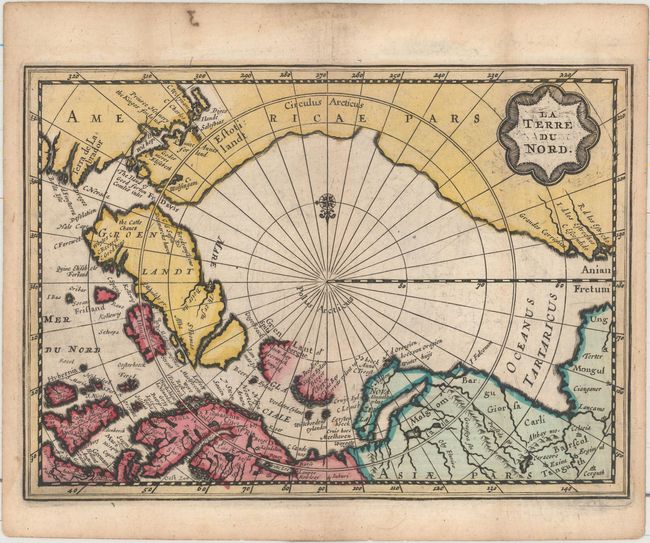
Subject: North Pole

Period: 1714 (circa)

Publication:

Color: Hand Color

Size:
7.9 x 5.7 inches
20.1 x 14.5 cm
Download High Resolution Image
(or just click on image to launch the Zoom viewer)

This is the second state of this small map of the North Pole, with a new title cartouche with the title changed from Septentrionalium Terrarum Descript, the North Atlantic renamed Mer du Nord, and the additional of a compass rose. The map was originally created by Jansson for Mercator's Atlas Minor; this edition was published by van der Aa after he acquired the copperplates in the early 18th century. It does not follow Mercator, instead using as a source the many contemporary exploratory voyages that attempted to locate a northern route to Asia. Several fictitious islands, including Frisland, appear in the North Atlantic. Novaya Zemlya is connected to the Russian mainland, and Spitsbergen is depicted as two oversize coastlines.

References: cf. Burden #222; Van der Krogt (Vol. III) #0020:352.2.

Condition: B+

A dark impression with printer's ink residue and a couple tiny spots. There is light soiling, light toning, a couple miniscule worm holes, and a short centerfold separation at bottom, all confined to the blank margins.

Estimate: $300 - $400

Unsold

Closed on 6/22/2016

Archived