Catalog Archive
Auction 158, Lot 322

"The Prussian Government of Stralsund, (Formerly Swedish Pomerania.) Drawn from the Original Map", Wyld, James
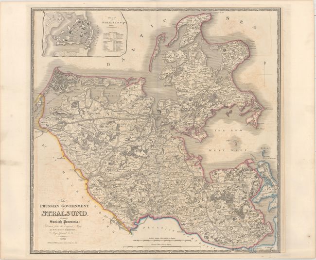
Subject: Germany

Period: 1844 (circa)

Publication: A New General Atlas of Modern Geography

Color: Hand Color

Size:
22.4 x 22.1 inches
56.9 x 56.1 cm
Download High Resolution Image
(or just click on image to launch the Zoom viewer)

This large, detailed map of the area surrounding Stralsund in present-day Mecklenburg-Vorpommern extends to show the island of Rugen. Stralsund has had an interesting history, changing control numerous times between the Swedes, the Danish, the French, and the Prussians. The map is intricately detailed with hundreds of roads, towns, bridges, forests, and topography. At top is an inset of a bird's-eye plan of Stralsund with a key identifying public buildings and bastions. The map is surrounded in a key-board style border.

References:

Condition: B+

Original outline color with light offsetting.

Estimate: $200 - $230

Unsold

Closed on 6/22/2016

Archived