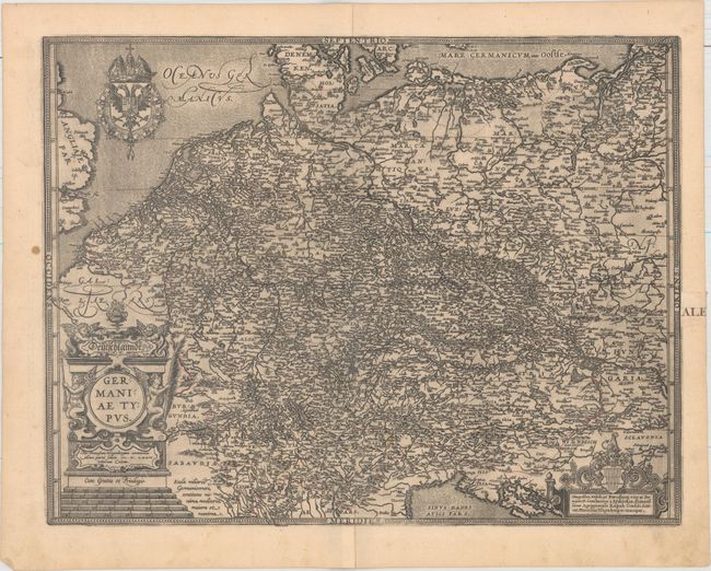
This densely engraved map of the German Empire extends from the Baltic Sea in the North to the Gulf of Venice in the South, and from the North Sea in the west to Krakow and Budapest in the east. Engraved by Frans Hogenberg. Spanish text on verso, published in 1609, 1612 and 1641 with same typesetting on verso. This map was among the additions made by Vrients when he took over publication of the Theatrum after Ortelius' death. It was published in relatively few editions and is very uncommon.
References: Van den Broeke #57.
Condition: B+
A dark impression with an archivally repaired centerfold separation that enters 2" into image at bottom. Lines of latitude have been added to the map in old manuscript ink. There is a small wax spot in left blank margin and an old paper repair in right blank margin.