Catalog Archive
Auction 158, Lot 293

"[Untitled - Atlas Topographique Sheet VII]", Picquet, Charles

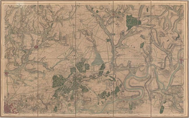
Subject: Northern France

Period: 1820 (circa)

Publication: Atlas Topographique en XVI Feuilles des Environs de Paris...

Color: Hand Color

Size:
24.5 x 15.2 inches
62.2 x 38.6 cm
Download High Resolution Image
(or just click on image to launch the Zoom viewer)

This is Sheet 7 out of 16 in the atlas, which covers the local area northeast of Paris. With Paris in the southwest corner, Dammartin is shown to the north and Meaux to the east. There is nice detail of towns, roads, railroads and watershed. Relief is shown by hachure. The map consists of 10 segments and is backed with original linen.

References:

Condition: B+

Near fine condition with original color and light toning. Hinge tape on verso. Folding as issued.

Estimate: $180 - $210

Unsold

Closed on 6/22/2016

Archived