Catalog Archive
Auction 158, Lot 279

"Les Campemens des Armees du Roy de France & des Alliez aux Pays-Bas, Depuis l'Annee 1690...", Mortier, Pierre
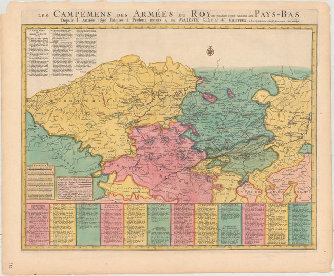
Subject: Belgium

Period: 1695 (circa)

Publication:

Color: Hand Color

Size:
22.3 x 17.1 inches
56.6 x 43.4 cm
Download High Resolution Image
(or just click on image to launch the Zoom viewer)

This map depicts the campaigns of the French army against the Grand Alliance in Belgium during the Nine Years' War. From 1690-94, the Spanish Netherlands became the primary seat of war, an attempt by King Louis XIV to expand the boundaries of his empire. The battle lines of the French are shown in blue and the Alliance in red. Below the map (and continuing at top left) is a list of the encampments by date between May 1690 and October 1694. The map extends south to Cambrai, France, and east to Maastricht and Liege, Belgium. A fascinating and detailed look at the last great war before the War of the Spanish Succession.

References:

Condition: A

A clean and bright example with full original color and a few minor chips along the edges of the sheet.

Estimate: $300 - $375

Unsold

Closed on 6/22/2016

Archived