Catalog Archive
Auction 158, Lot 256

"[Part of the Maine Island of Shetland] To the Rt. Honorable Daniel Earle of Nottingham...", Collins, Capt. Greenvile

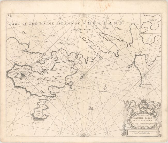
Subject: Shetland Islands

Period: 1753 (circa)

Publication: Great-Britain's Coasting Pilot

Color: Black & White

Size:
22.3 x 17.6 inches
56.6 x 44.7 cm
Download High Resolution Image
(or just click on image to launch the Zoom viewer)

This handsome chart depicts a portion of the eastern coastline of Mainland, as well as islands Bressay and Noss. Only a few place names are identified on the chart, and there are excellent navigational details, such as soundings, rocks, shoals, and anchorages. The map is embellished with half a compass rose orienting north to the right, and a decorative cartouche featuring putti and a dedication to Daniel Finch, 2nd Earl of Nottingham. Engraved by Herman Moll. This is the second state with the plate number "T" added at top right.

In 1681 Capt. Greenville Collins (fl.1669-1694) an officer in the Royal Navy was appointed by the Admiralty to make a complete survey of the coasts of Great Britain. Prior to this date the charts used by English mariners were copies of Dutch charts that had many inaccuracies. The task of surveying the entire coasts was formidable and took about 7 years, at the end of which only 46 surveys were finally used in an atlas titled "Great Britain's Coasting-Pilot Being a New and Exact Survey of the Sea-Coast of England," which was first published in 1693.

References: Verner (MCC-58) #40; Shirley (BL Atlases) M.COLL-1a #44.

Condition: B+

Printed on thick paper. There is a small separation at the upper centerfold that has been repaired with archival tape on verso. There are two small unobtrusive cuts in the lower portion of the image - one to the left of the dedication cartouche and one next to the centerfold, which have also been closed on verso with archival tape. Minor staining in blank margins.

Estimate: $160 - $190

Sold for: $100

Closed on 6/22/2016

Archived