Catalog Archive
Auction 158, Lot 197
"Paragua", Seller, John
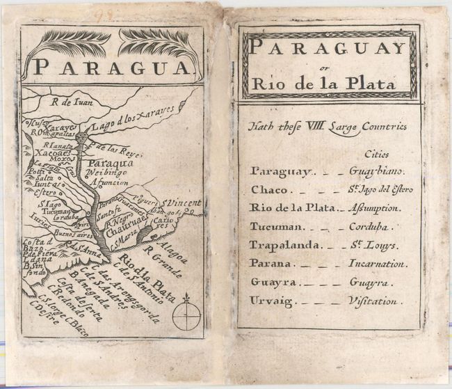
Subject: Argentina, Uruguay
Period: 1678 (circa)
Publication: Atlas Minimus
Color: Black & White
Size:
2.2 x 3.7 inches
5.6 x 9.4 cm
Download High Resolution Image
(or just click on image to launch the Zoom viewer)
(or just click on image to launch the Zoom viewer)