Catalog Archive
Auction 158, Lot 152

NO RESERVE

"Reconnaissance Map - Virginia Spotsylvania Sheet", U.S. Geological Survey (USGS)

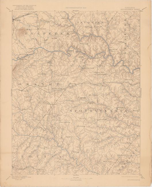
Subject: Central Virginia

Period: 1922 (dated)

Publication:

Color: Printed Color

Size:
14.1 x 18.9 inches
35.8 x 48 cm
Download High Resolution Image
(or just click on image to launch the Zoom viewer)

This map of central Virginia extends from Louisa to Culpeper and shows very detailed topography and drainage. The “Narrow Gauge Railroad” is depicted across the middle of the map along with a small portion of the Chesapeake & Ohio and the Virginia Midland Railroad. Originally published in 1892, and reprinted here in 1922.

References:

Condition: B+

Light toning with an edge tear confined to the top blank margin.

Estimate: $30 - $40

Unsold

Closed on 6/22/2016

Archived