Catalog Archive
Auction 158, Lot 149

One of the Earliest Printed Government Surveys

"Map of the Routes Examined and Surveyed for the Winchester and Potomac Rail Road State of Virginia... [with report]", Graham, James D.
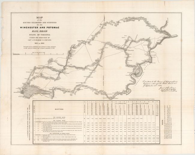
Subject: Virginia

Period: 1831-32 (dated)

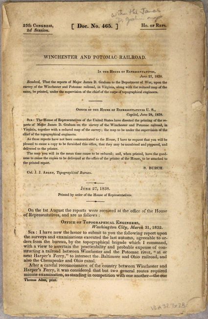
Publication: 25th Congress, 2nd Session, HR Doc. 465

Color: Black & White

Size:
27 x 21.3 inches
68.6 x 54.1 cm
Download High Resolution Image
(or just click on image to launch the Zoom viewer)

This is one of the earliest printed government surveys and was drawn from the original plot by Lt. Andrew Atkinson Humphreys. It was based on surveys by Lts. A.D. Mackay and E. French in 1831 and Lts. French and J.F. Izard in 1832. The topographic map illustrates an area between the Shenandoah and Potomac Rivers to Winchester. It locates Harper's Ferry, Charleston, Smithfield Village, Winchester, and scores of individual farms with the owner's name. It shows mills, distilleries, blacksmith shops, etc. along the proposed routes. Across the bottom is an extensive table giving a summary of the routes surveyed.

The Commonwealth of Virginia was embroiled in controversy over the development of a railway network in this region. The existing transportation system was inefficient for the farmers and iron furnaces in the Shenandoah Valley, as it concentrated economic trade benefits within Virginia at the exclusion of neighboring Maryland and Pennsylvania. This rail line was designed to divert Shenandoah Valley wheat from Alexandria and stimulate growth in Baltimore. Completion of the line in 1836 greatly contributed to the decline of Alexandria.

References: Claussen & Friis #271; Modelski (Railroads) #4; Phillips (Maps) p. 1073.

Condition: B+

A mostly clean and bright example with faint offsetting, a few minor misfolds at left, and several tiny splits at fold intersections. Disbound text is very good with light foxing on the title page only.

Estimate: $250 - $325

Sold for: $180

Closed on 6/22/2016

Archived