Catalog Archive
Auction 157, Lot 58

"The Antarctic Regions", Stanford, Edward
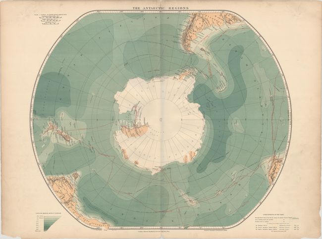
Subject: South Pole

Period: 1905 (circa)

Publication: Stanford's Geographical Establishment

Color: Printed Color

Size:
24.1 x 20.4 inches
61.2 x 51.8 cm
Download High Resolution Image
(or just click on image to launch the Zoom viewer)

This attractive chart of the South Pole depicts the known portions of Antarctica. The central white area is the approximate region of the pack ice during the austral summer months. The surrounding ocean is given gradiated color to show the relative depth at various locations. The routes of several antarctic expeditions are shown with red and black lines, including the Discovery (1901), the Gauss (1903), and the Scotia (1902).

References:

Condition: B+

Minor soiling with a 2" centerfold separation at top, several small chips at bottom, and two 1"-2" tears at the sides of the sheet.

Estimate: $200 - $230

Sold for: $170

Closed on 5/4/2016

Archived