Catalog Archive
Auction 157, Lot 510

"Gallia le Royaume de France", Blaeu, Willem
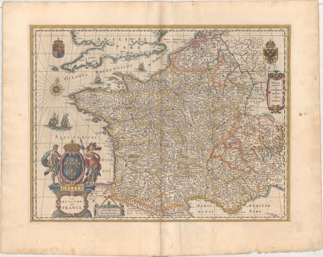
Subject: France

Period: 1635 (published)

Publication: Novus Atlas

Color: Hand Color

Size:
19.6 x 14.9 inches
49.8 x 37.8 cm
Download High Resolution Image
(or just click on image to launch the Zoom viewer)

This elaborately engraved map of France is divided into provinces. Numerous towns and cities are located, and there is good topographical detail. A compass rose capped with a fleur-de-lis and four sailing ships appear in the English Channel and Atlantic. Two coats-of-arms, representing the king and the House of Habsburg, are shown in the top corners. There are three cartouches: an ornate title cartouche with a crown and allegorical figures, a distance scale cartouche with a divider on top, and another containing a key identifying episcopal and archepiscopal seats, universities, and parliamentary seats. As the bottom of the title cartouche indicates, this was engraved by Josua van den Ende, who had a fruitful working relationship with Blaeu.

References: Van der Krogt (Vol. II) #4000:2A.3.

Condition: B+

A crisp impression with an archivally repaired centerfold separation at bottom and an extraneous crease to the right of the centerfold. Light printer's ink residue with a very faint damp stain that enters the image at bottom.

Estimate: $250 - $325

Sold for: $180

Closed on 5/4/2016

Archived