Catalog Archive
Auction 157, Lot 507

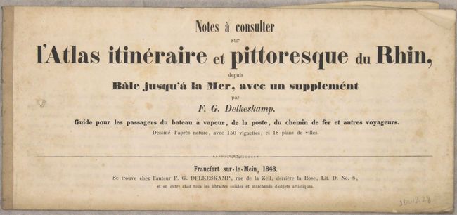
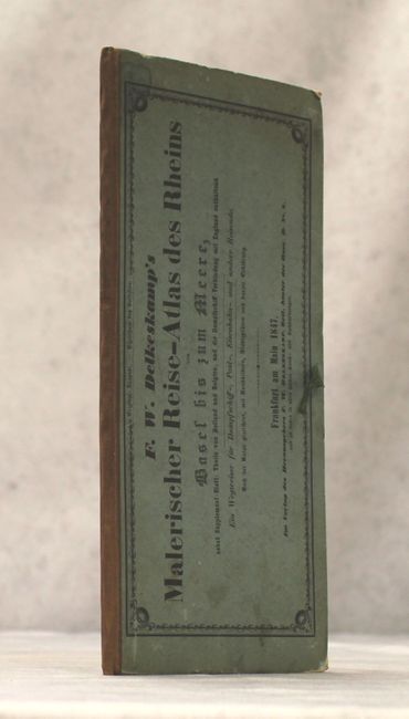
"Atlas Pittoresque du Rhin Depuis Bale Jusqu'a la Mer...", Delkeskamp, Friedrich Wilhelm

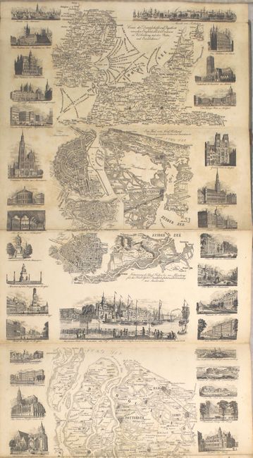
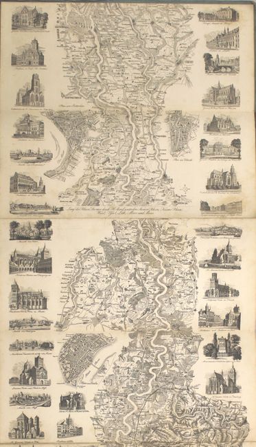
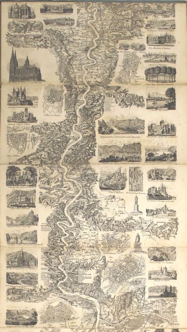
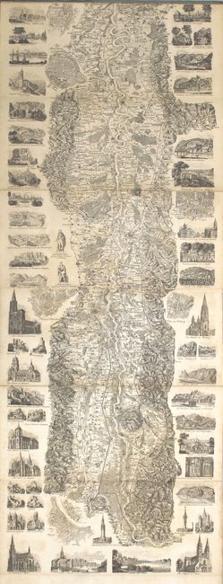
Subject: Western Europe, Rhine River

Period: 1847 (dated)

Publication:

Color: Black & White

Size:
10.1 x 87.8 inches
25.7 x 223 cm
Download High Resolution Image
(or just click on image to launch the Zoom viewer)

This exceptional panoramic folding map is composed of multiple sheets that have been accordion-folded into book form. The remarkable bird's-eye view follows the entire length of the Rhine River, with very artistically rendered countryside including fields, roads, fences, villages, buildings, homes, castles, etc. At the sides are beautiful views of the important structures along the way including castles and cathedrals. Includes a 62-page traveler's guide in French. Folds into stiff blue boards with brown cloth spine (5.5 x 11.5").

Delkeskamp issued a series of plate-books and panoramas based on his tours of Germany and Switzerland. His Rhein-Panorma was first published in 1825.

References:

Condition: B

Light scattered foxing throughout but with no edge tears or fold separations, which is surprising for a map of this size. Text is very good and has separated from the inside front cover. Covers are stained with a large chip to the paper of the front cover.

Estimate: $350 - $450

Sold for: $275

Closed on 5/4/2016

Archived