Catalog Archive
Auction 157, Lot 455

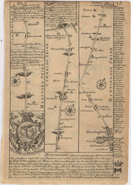
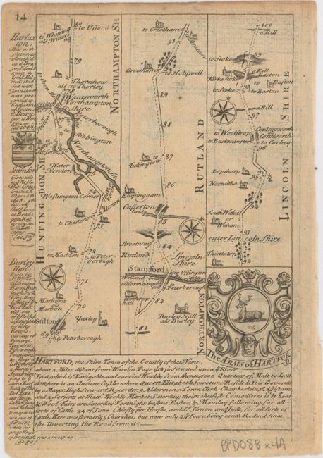
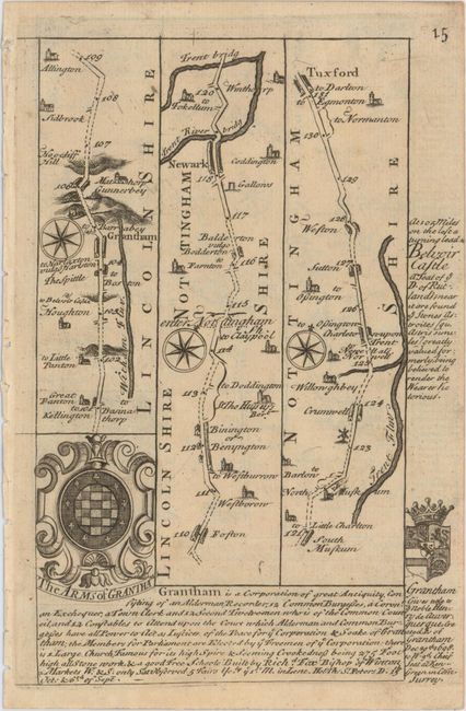
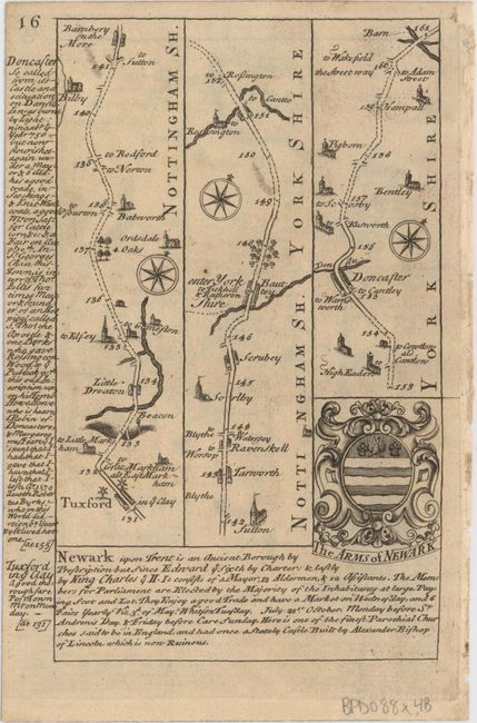
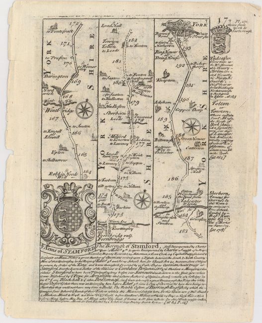
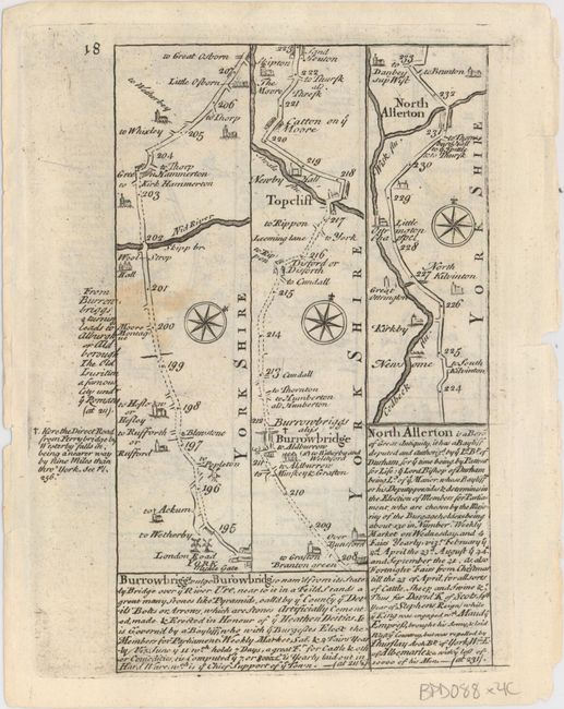
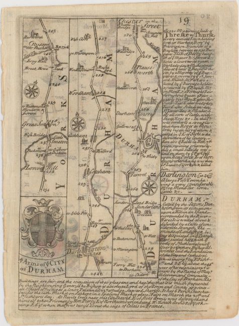
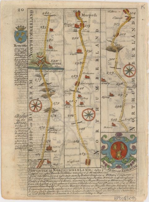
"[Lot of 4 - The Road from London to Barwick... // Nottinghamshire]", Owen & Bowen

Subject: England

Period: 1720 (circa)

Publication: Britannia Depicta...

Color: Black & White

Size:
6.4 x 8 inches
16.3 x 20.3 cm
Download High Resolution Image
(or just click on image to launch the Zoom viewer)

Britannia Depicta Or Ogilby Improv'd was the most popular and successful Ogilby derivative atlas, published in response to public demand for a small road atlas that could be easily carried by travelers. The atlas reproduced Ogilby's strip-style road maps and added individual county maps. It was published by Thomas Bowles in a series of editions between 1720 and 1764. The historical notes that accompany each map were compiled by John Owen, a respected lawyer and antiquarian. The maps were engraved by Emanuel Bowen who went on to become one of London's leading engravers and print sellers in the 18th century. The maps are embellished with coats of arms and contain immense detail and topographical information. A compass rose orients each map and useful landmarks include hills, bridges, rivers and streams, windmills, churches, markets, parks and forests, water wells and even gallows.

These copper engraved, Ogilby-style strip road maps include coats-of-arms and descriptive text by John Owen. Although from different editions, these sheets represent a continuous road map from Royston in Hertfordshire to Felton in Northumberland. The road passes through Peterborough, York, and Newcastle-upon-Tyne.

References: Shirley (BL Atlases) T.BOW-1a.

Condition: B+

Mostly very good with light toning and minor soiling. The verso of the last sheet is in lovely hand color.

Estimate: $80 - $95

Sold for: $60

Closed on 5/4/2016

Archived