Catalog Archive
Auction 157, Lot 426

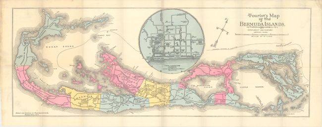
"Tourist's Map of the Bermuda Islands",
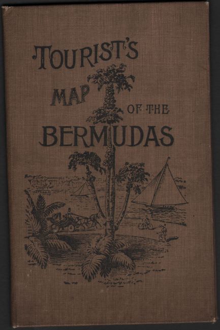
Subject: Bermuda

Period: 1890 (circa)

Publication:

Color: Hand Color

Size:
25.9 x 9.6 inches
65.8 x 24.4 cm
Download High Resolution Image
(or just click on image to launch the Zoom viewer)

This promotional pocket map of the island is divided into its nine parishes and shows roads, channels, anchorages and lighthouses. Features a large inset of the "Town of Hamilton" with the principal buildings identified. Compiled by Jas. H. Stark in Boston, Massachusetts. Folds into tan cloth-covered boards with illustration on front cover and an advertisement for the Quebec Steamship Company on verso. Circa date is based upon the paper which has an 1890 watermark.

References:

Condition: B+

A clean example on watermarked paper with 2 short splits at fold intersections. Map has separated from the covers, which are very good with minor soiling and a few abrasions.

Estimate: $150 - $180

Sold for: $100

Closed on 5/4/2016

Archived