Catalog Archive
Auction 157, Lot 308
"Map of the City of New York with Index",
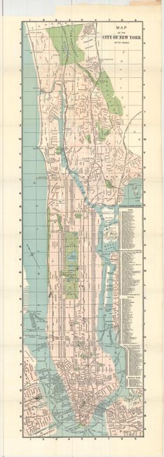
Subject: New York City, New York
Period: 1890 (circa)
Publication:
Color: Printed Color
Size:
6.5 x 22 inches
16.5 x 55.9 cm
Download High Resolution Image
(or just click on image to launch the Zoom viewer)
(or just click on image to launch the Zoom viewer)