Catalog Archive
Auction 157, Lot 301

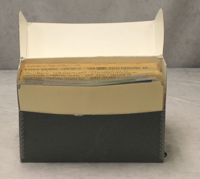
"[165 Plat Maps - West Jersey and Seashore Railroad]", Railroad Companies, (Various)

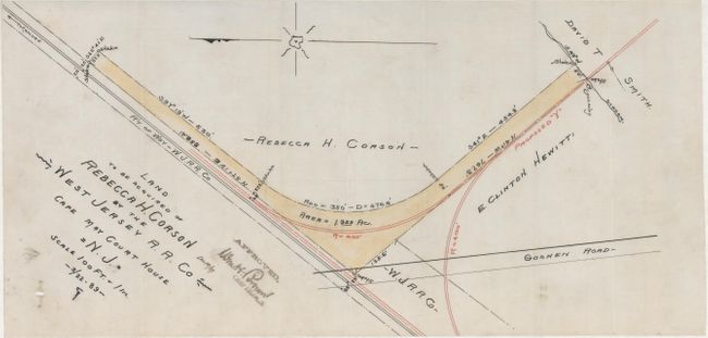
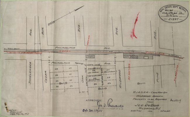
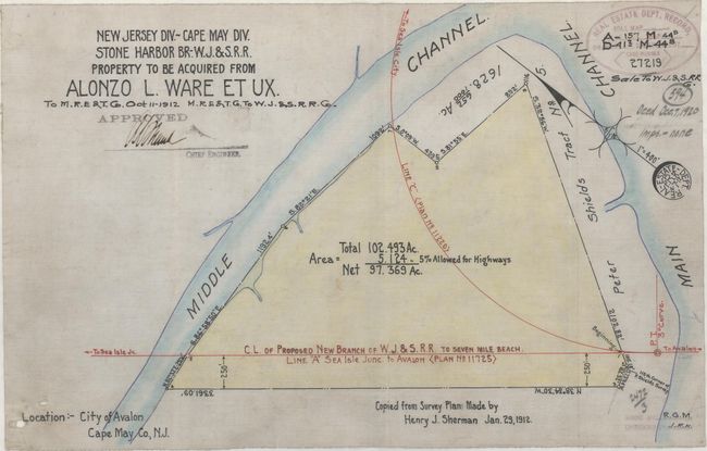
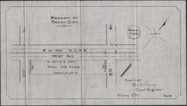
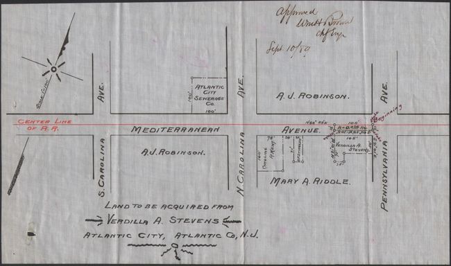
Subject: Southern New Jersey

Period: 1889-1905 (circa)

Publication:

Color: Hand Color

Size:
8.5 x 14 inches
21.6 x 35.6 cm
Download High Resolution Image
(or just click on image to launch the Zoom viewer)

This lot features 165 small plat maps printed on oilcloth depicting land acquired by the West Jersey and Seashore Railroad located along the Jersey Shore from Cape May to Atlantic City. Most of the maps are dated between 1889-1905 and are 8.5" by 14" or smaller, some with outline color. Each of the plats shows the property owner's name, size of tract, nearby roads and a compass rose. Some of the maps are accompanied by a deed description, providing additional context to the maps. The plat maps are broken out into the following locations: Cape May (21), Holly Beach (16), Dennis Township (9), Wildwood (27), Angelesea (42), Seven Mile (8), Avalon (3), Sea Isle (15), Ocean City (14), Margate (3), and Atlantic City (7). Also included within the group are several blueprints.

Each of the plats is individually sleeved and housed in a gray cardboard file box.

References:

Condition: B+

The maps are overall very good to fine with minor soiling and extraneous pencil notations - flaws typical from working documents. Most maps contain real estate record stamps.

Estimate: $500 - $700

Sold for: $250

Closed on 5/4/2016

Archived