Catalog Archive
Auction 157, Lot 232

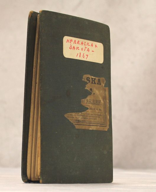
"Map of Nebraska and Dakota, and Portions of the States and Territories Bordering Thereon", Warren, Lieut. G. K.

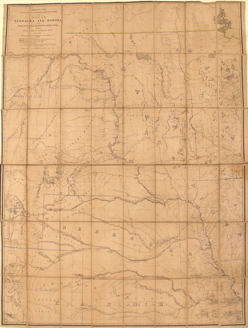
Subject: Central United States

Period: 1867 (dated)

Publication:

Color: Hand Color

Size:
33.1 x 44.3 inches
84.1 x 112.5 cm
Download High Resolution Image
(or just click on image to launch the Zoom viewer)

This large, striking folding map covers much of the Great Plains region from Lake of the Woods west to the Yellowstone River and south to Pikes Peak. Warren's vast experience in the region is reflected in the map with remarkably good detail of the river systems, topography, railroads, forts, and Indian reservations. The map shows numerous survey routes and explorations including those led by Sally, Raynolds, Fremont, Pope and Woodruff to name a few. States and territories are delineated via hand coloring. The map is signed in manuscript to the right of the title by William E. Merrill, a Missouri Engineers Office Official, on June 27th, 1867. Dissected and backed with linen. Folds into green cloth-covered boards with remnants of an original title label and modern label on front cover. A well preserved working copy.

References:

Condition: B

Light overall toning, scattered foxing, and minor pencil notations. Manuscript ink notations are to the right of the title cartouche.

Estimate: $500 - $700

Sold for: $350

Closed on 5/4/2016

Archived