Catalog Archive
Auction 157, Lot 203
NO RESERVE
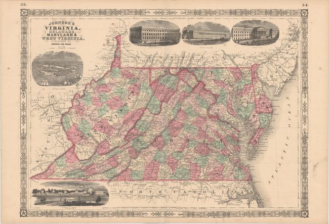
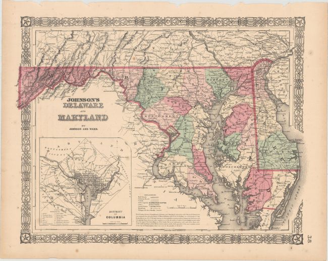
"[Lot of 2] Johnson's Virginia, Delaware, Maryland & West Virginia [and] Johnson's Delaware and Maryland", Johnson & Ward
1 of 2
Subject: Mid-Atlantic United States
Period: 1864 (circa)
Publication: Johnson’s New Illustrated (Steel Plate) Family Atlas
Color: Hand Color
Size:
See Description
Download High Resolution Image
(or just click on image to launch the Zoom viewer)
(or just click on image to launch the Zoom viewer)