Catalog Archive
Auction 156, Lot 94

"Nord America", Weiland, Carl Ferdinand

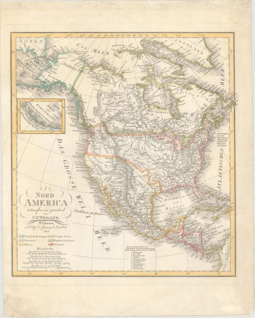
Subject: North America

Period: 1828 (dated)

Publication:

Color: Hand Color

Size:
13.3 x 14.1 inches
33.8 x 35.8 cm
Download High Resolution Image
(or just click on image to launch the Zoom viewer)

Attractive and detailed map of North America. Mexico is in control of the southwest (Texas is not named), and the boundary with Canada extends well into present-day Canada, reflecting the United States claims to the territory. The Midwest, east of the Rocky Mountains, is identified as Missouri Territory while Wisconsin is labeled Northwest Territory. At left is an inset of the Aleutian Islands.

References:

Condition: A

A strong, dark impression with minor soiling in the blank margins.

Estimate: $300 - $375

Sold for: $220

Closed on 2/17/2016

Archived