Catalog Archive
Auction 156, Lot 709

"Karte von dem Eylande Ceylan zur Allgemeinen Historie der Reisen", Bellin, Jacques Nicolas
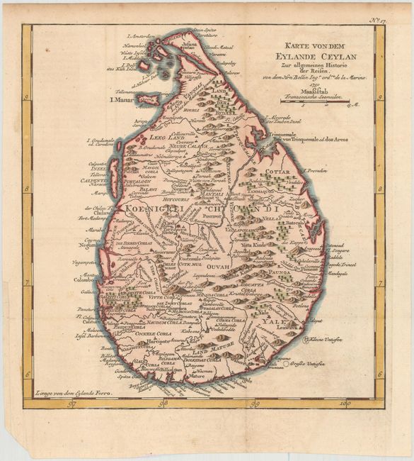
Subject: Sri Lanka

Period: 1750 (dated)

Publication:

Color: Hand Color

Size:
9.5 x 10 inches
24.1 x 25.4 cm
Download High Resolution Image
(or just click on image to launch the Zoom viewer)

Fine map of the island of Ceylon, present-day Sri Lanka, showing harbors along the coast including Colombo, Trincomalee, Chilaw, and Negombo, as well as many small towns and settlements inland. The I. Calpentyn, now the Kalpitiya Peninsula, Mannar Island, and several smaller islands are included off the west coast. Ceylon's shorelines are well defined depicting capes, bays, and points, and the island is filled with pictorial depictions of mountains and trees.

References:

Condition: B+

A crisp impression on watermarked paper with attractive color and light offsetting. Issued folding with a binding trim at left that has been replaced with old paper and a chip at bottom left, far from image.

Estimate: $140 - $170

Sold for: $100

Closed on 2/17/2016

Archived