Catalog Archive
Auction 156, Lot 701

"H Koninkryk van Guzaratte met d'Engte van Cambaya...", Aa, Pieter van der

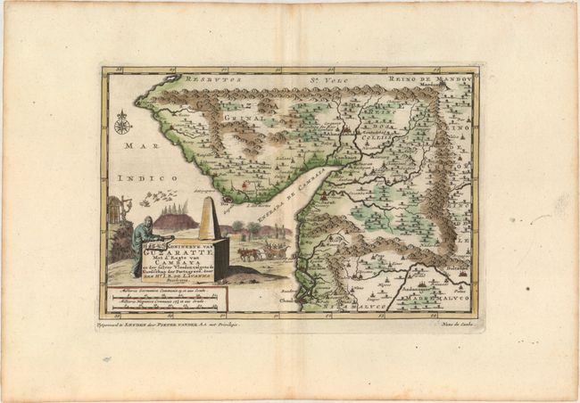
Subject: Western India

Period: 1710 (circa)

Publication: Naauwkeurige Versameling der Gedenk-Waardigste Zee en Landreysen…

Color: Hand Color

Size:
8.9 x 5.9 inches
22.6 x 15 cm
Download High Resolution Image
(or just click on image to launch the Zoom viewer)

This map of the region surrounding the Gulf of Khambhat was created to illustrate some of the Portuguese possessions in India, ruled by Governor Nuno da Cunha from 1528-38. The map extends as far northeast as Mandsaur and as far south as the area around Mumbai. Adorned with a decorative title cartouche. This map was published in van der Aa's compilation of early voyages of exploration.

References: cf. Shirley (BL Atlases) G.AA-1a #23.

Condition: A

A nice impression with attractive color on watermarked paper with wide margins and minor offsetting.

Estimate: $140 - $170

Sold for: $100

Closed on 2/17/2016

Archived