Catalog Archive
Auction 156, Lot 57

Interesting Cube-Style Puzzle Map

"[Set of 6 Puzzle Maps] Atlas Geographique",

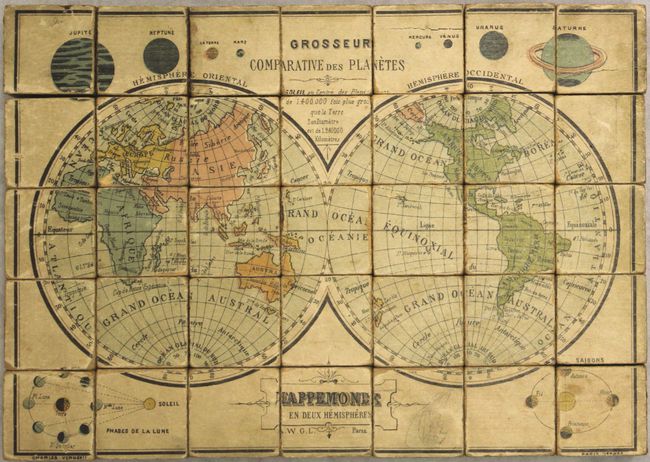
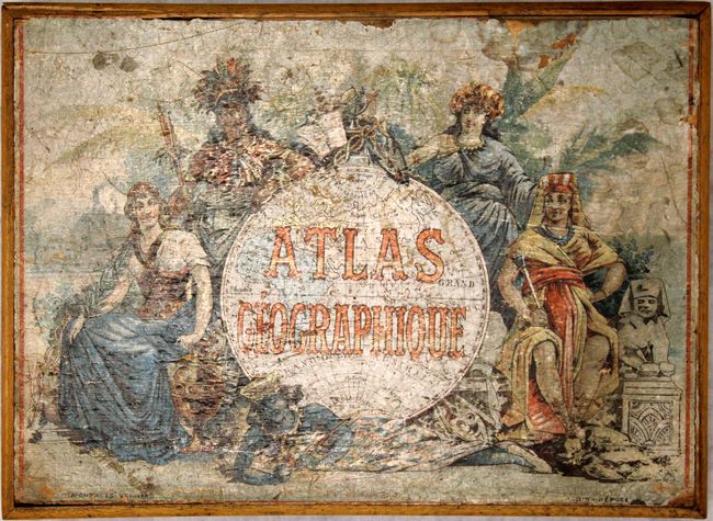
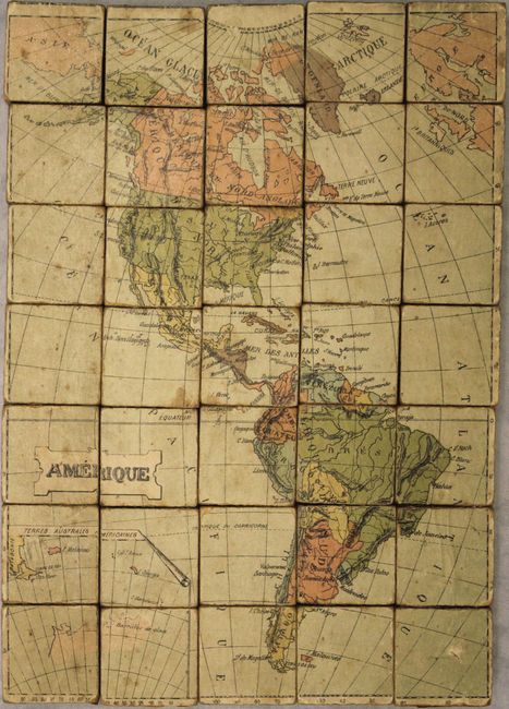
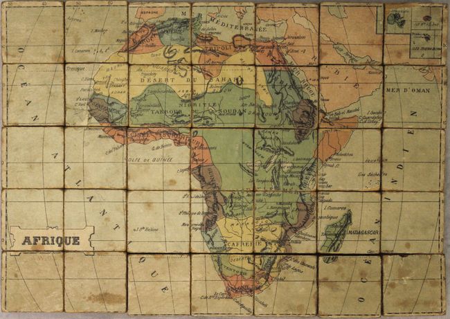
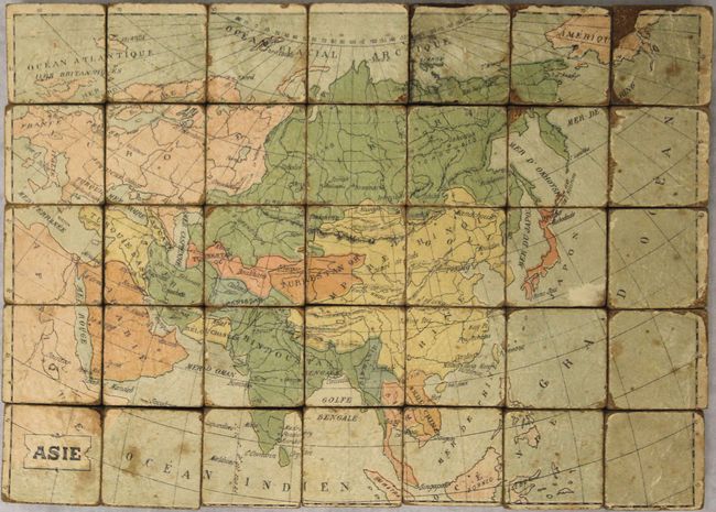
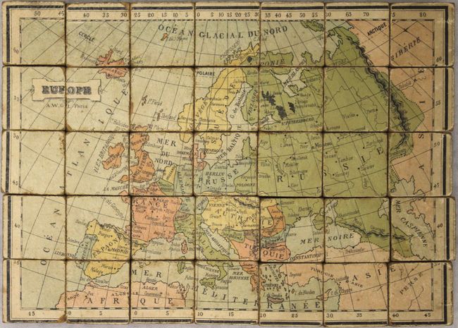
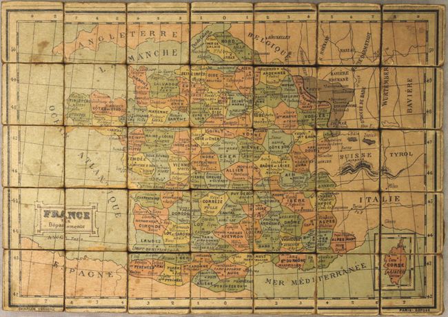
Subject: World & Continents, Puzzles

Period: 1890 (circa)

Publication:

Color: Printed Color

Size:
12.8 x 9.2 inches
32.5 x 23.4 cm
Download High Resolution Image
(or just click on image to launch the Zoom viewer)

This extraordinary and complete puzzle set consists of maps of the world, Americas, Africa, Asia, Europe and France. Published by Charles Verneau in Paris, the maps are on all sides of the 35 cubes. Getting the puzzles in the correct order is not easy and reminds one of working with a Rubik's Cube - just ask our photographer! The cubes fit into the original wooden box that has an illustration of the world surrounded by female representations of the continents. The guide maps store in the box, above the wooden cubes. A rare cartographic curiosity that has survived fairly well given its purpose as a game. Correctly arranged, the cubes make the following maps, each measuring approximately 8 x 11":

A. Mappemonde en Deux Hemispheres.
B. Amerique.
C. Afrique.
D. Asie.
E. Europe.
F. France par Departements.

References:

Condition: B

The cubes are good to very good with some chipping or lose paper along some of the edges and light scattered foxing. The guide maps, which have scattered foxing and staining, have been backed with stiff blue paper to reinforce and repair numerous edge tears and chips from use. The box is in good condition with some small chips to the illustration on the top cover, the lower portion of the metal clasp is missing, and there are some pencil notations on the bottom.

Estimate: $400 - $500

Sold for: $450

Closed on 2/17/2016

Archived