Catalog Archive
Auction 156, Lot 489
"Praefectura Generalis Languedociae, olim Occitania Dicta; Cujus Partes, Superior sive Occidentalis, et Orientalis Inferior...", Valck, Gerard and Leonard
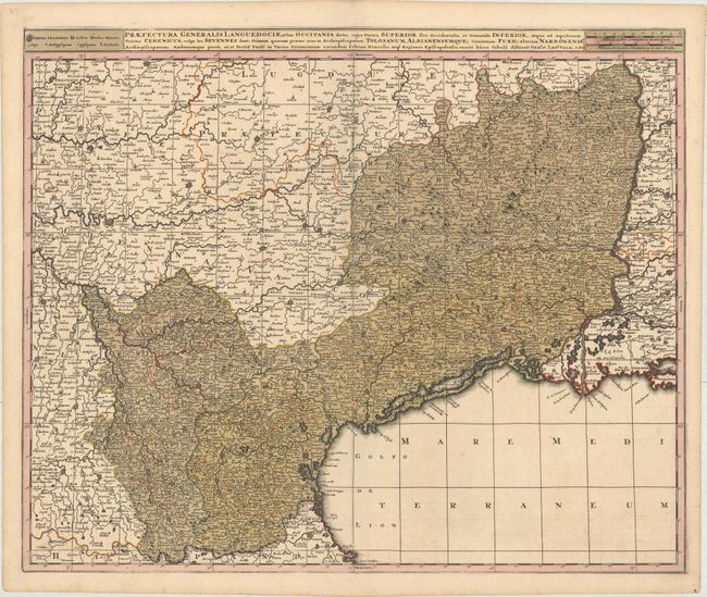
Subject: Southern France
Period: 1700 (circa)
Publication:
Color: Hand Color
Size:
23.4 x 19.3 inches
59.4 x 49 cm
Download High Resolution Image
(or just click on image to launch the Zoom viewer)
(or just click on image to launch the Zoom viewer)