Catalog Archive
Auction 156, Lot 450

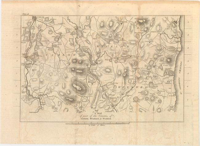
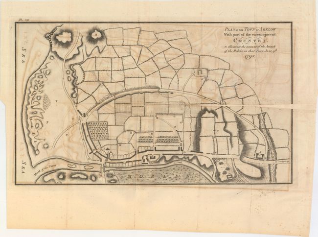
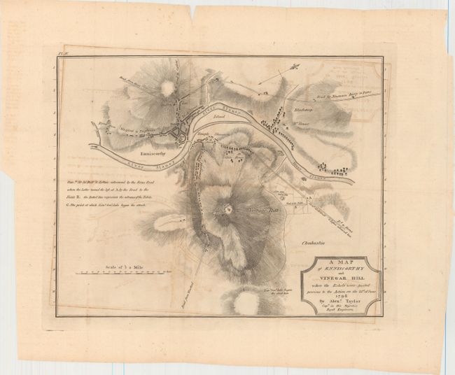
"[Lot of 7] View of Vinegar Hill... [and] A Plan of the Town of Wexford... [and] A Map of the Town of Antrim [and] [Western Ireland] [and] A Map of Part of the Counties of Carlow... [and] Plan of the Town of Arklow... [and] A Map of Enniscorthy...",
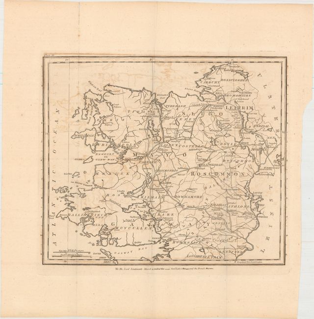
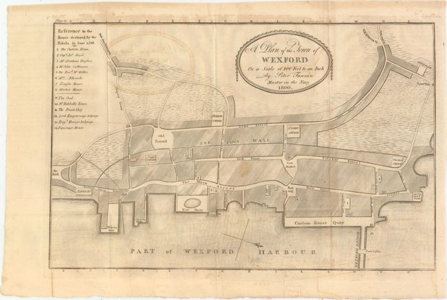
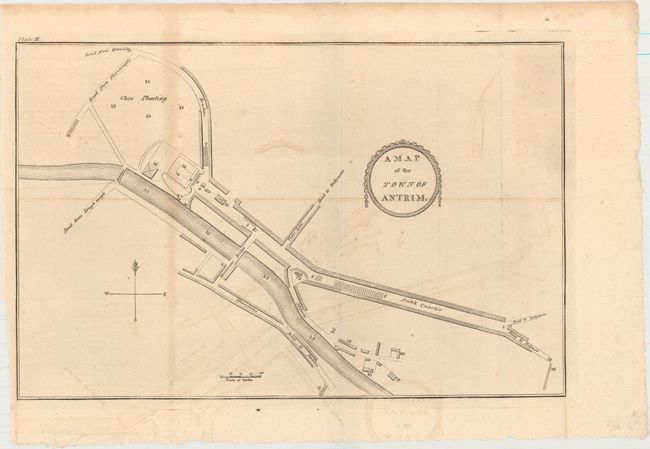
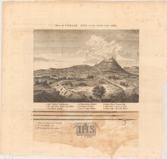
Subject: Ireland

Period: 1801 (circa)

Publication: Memoirs of the Different Rebellions in Ireland

Color: Black & White

Size:
See Description
Download High Resolution Image
(or just click on image to launch the Zoom viewer)

These seven maps were issued in Richard Musgrave's Memoirs of the Different Rebellions in Ireland, which documented the 1798 Irish Rebellion from a Protestant point of view. Musgrave believed that the Rebellion was an attempt by Catholics to eradicate Ireland of its Protestant population. Included in this lot are battle plans, town maps, regional maps and one view:

A. View of Vinegar Hill on the North East Side (7.6 x 7.9").

B. A Plan of the Town of Wexford on a Scale of 200 Feet to an Inch, by Peter Fannin, dated 1800 (14.3 x 9.4").

C. A Map of the Town of Antrim (13.8 x 9.0").

D. [Untitled - Western Ireland] (11.7 x 10.0").

E. A Map of Part of the Counties of Carlow, Wexford, & Wicklow (13.5 x 8.1"). Condition: Backed with tissue.

F. Plan of the Town of Arklow with Part of the Circumjacent Country. To Illustrate the Account of the Attack of the Rebels on That Town June 9th 1798 (18.1 x 10.6"). Condition: A 7" cut along the horizontal fold at right has been repaired with old paper, with minor loss of image and neatline.

G. A Map of Enniscorthy and Vinegar Hill Where the Rebels Were Posted Previous to the Action on the 21st of June 1798, by Alexander Taylor (14.9 x 11.6"). Condition: There are a few tiny holes along one fold.

References:

Condition: B

The maps have light to moderate offsetting and occasional toning and foxing. See description above for additional details.

Estimate: $300 - $400

Unsold

Closed on 2/17/2016

Archived