Catalog Archive
Auction 156, Lot 44

"[Lot of 2] Carta delle due Regioni Polari [and] A Map of the Countries Thirty Degrees Round the North Pole",
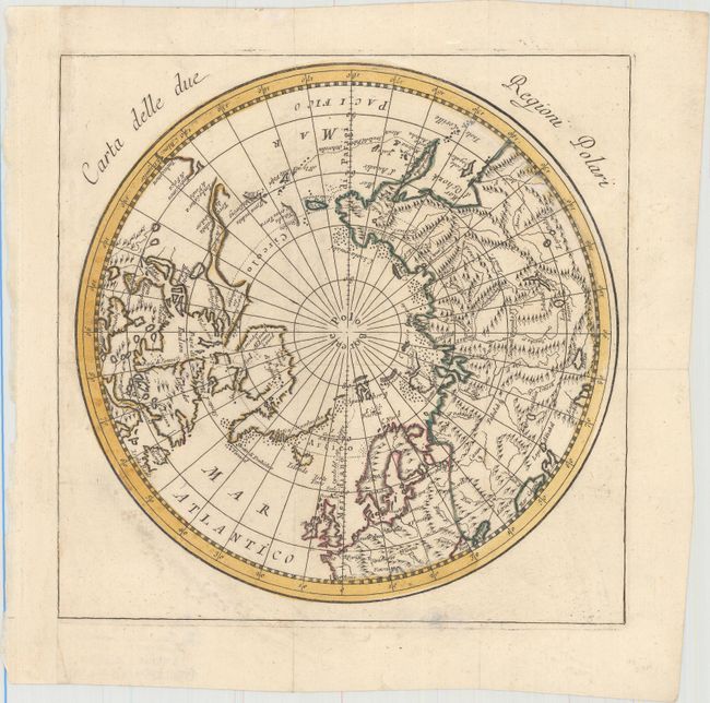
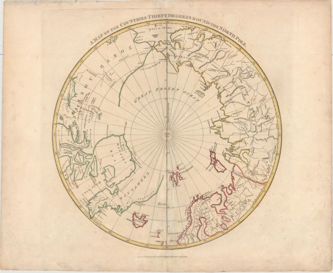
Subject: North Pole

Period: 1782-1808 (circa)

Publication:

Color: Hand Color

Size:
See Description
Download High Resolution Image
(or just click on image to launch the Zoom viewer)

A. Carta delle due Regioni Polari, by Antonio Zatta, circa 1782 (8.8 x 8.8"). This elegantly engraved map of the North Pole features some nice topographical detail, especially in northern Europe and Asia. Detail is sparse in northwestern North America, with no sign of Alaska and few place names west of L[ake] de Fonte. Condition: A fine impression issued folding on watermarked paper, now flat, with light scattered foxing outside the map image. The sheet has been remargined at left with old paper. (A)

B. A Map of the Countries Thirty Degrees Round the North Pole, by Longman & Co., dated 1808 (13.7 x 13.7"). This map shows the extent of polar geographical knowledge at the end of the 18th century. The northern shoreline of North America is unknown and left mostly blank. In northern Canada a large area is labeled Hearn's Discoveries; nearby are the Dog Ribb'd Indians and the Copper Indians. A small area of coastline at the end of the Coppermine River is labeled The Sea and dated 1772, a reference to Samuel Hearne's journey up the Coppermine River. Hearne was the first European to reach the Arctic Ocean via an overland route. Greenland is shown connected to the continent across Baffin's Bay. Includes notes of fresh water, and another note between Siberia and Alaska indicates that the ice extends from continent to continent. Engraved by Neele and published by G. G. Robinson. Condition: Light scattered foxing and archivally repaired centerfold separations with associated creasing at bottom. There are light damp stains and soiling in the blank margins. (B+)

References:

Condition:

See description above.

Estimate: $275 - $350

Sold for: $200

Closed on 2/17/2016

Archived