Catalog Archive
Auction 156, Lot 442
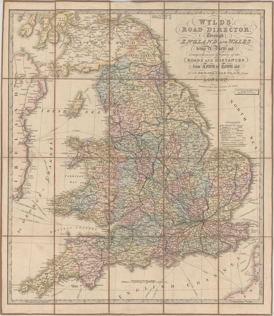
"Wyld's, Road Director, Through England and Wales Being a New and Comprehensive Display of the Roads and Distances from Town to Town and of Each Remarkable Place from London", Wyld, James

1 of 2
Subject: England & Wales
Period: 1838 (dated)
Publication:
Color: Hand Color
Size:
20.7 x 23.6 inches
52.6 x 59.9 cm
Download High Resolution Image
(or just click on image to launch the Zoom viewer)
(or just click on image to launch the Zoom viewer)