Catalog Archive
Auction 156, Lot 422

"[Lot of 6] Poland [and] Germany North of the Mayne [and] Germany South of the Mayne [and] Denmark [and] Holland [and] France in Provinces", Thomson, John
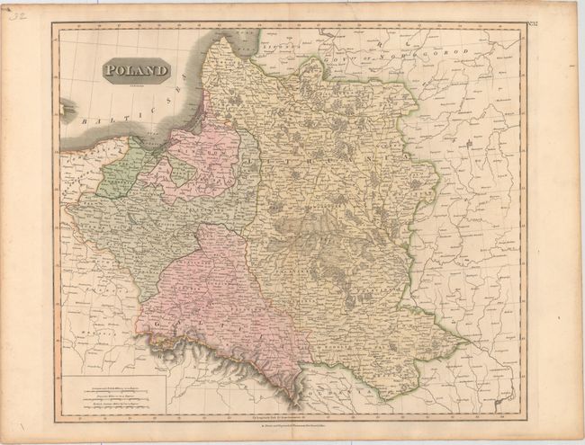
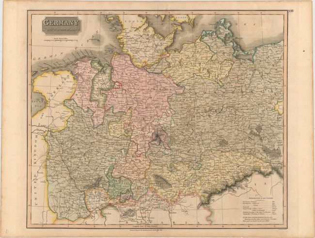
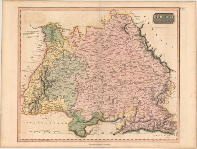
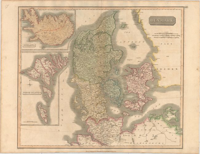
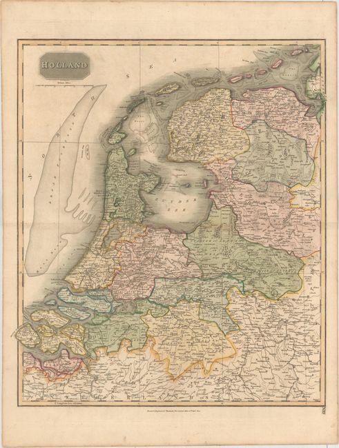
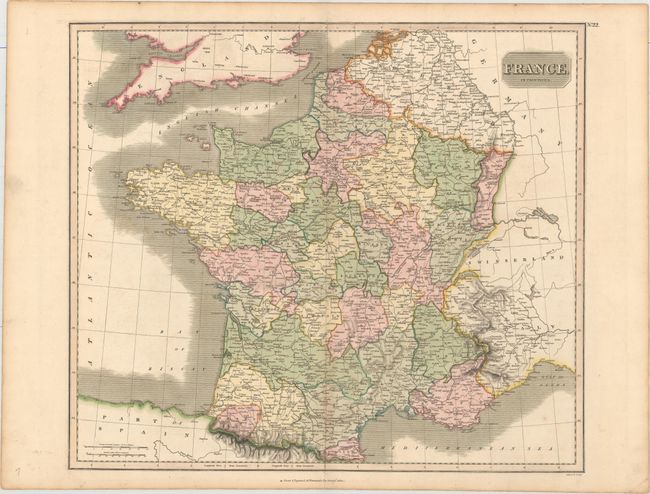
Subject: Europe

Period: 1814-16 (circa)

Publication: New General Atlas

Color: Hand Color

Size:
See Description
Download High Resolution Image
(or just click on image to launch the Zoom viewer)

This set of 6 large maps are from Thomson's New General Atlas. Each map is filled with detail, including political boundaries, towns, topography, and river systems.

A. Poland, (23.2 x 19.4").
B. Germany North of the Mayne, dated 1816 (23.6 x 19.8").
C. Germany South of the Mayne, dated 1816 (23.4 x 19.6").
D. Denmark, dated 1814 (23.4 x 19.9").
E. Holland, dated 1814 (20.3 x 23.4").
F. France in Provinces, (22.5 x 19.7").

References:

Condition: B+

Full original color with minor toning and offsetting. The maps of Poland and Denmark each have one tiny hole, and Denmark also has two short tears in the bottom blank margin.

Estimate: $200 - $240

Sold for: $100

Closed on 2/17/2016

Archived