Catalog Archive
Auction 156, Lot 377

"La Martinique une des Antilles Francoises de l'Amerique Dressee sur les Nouvelles Observations", Le Rouge, George Louis
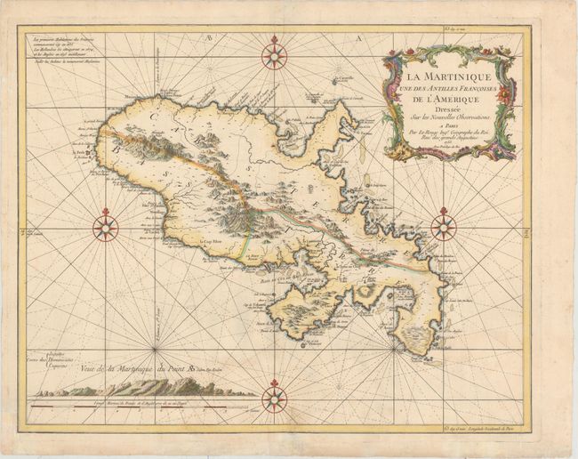
Subject: Martinique

Period: 1753 (dated)

Publication: Atlas Ameriquain Septentrional...

Color: Hand Color

Size:
24.5 x 19.4 inches
62.2 x 49.3 cm
Download High Resolution Image
(or just click on image to launch the Zoom viewer)

This striking chart of Martinique divides the island into two sections: Cabes Terre and Basse Terre. There is excellent detail of the mountainous terrain inland, but most of the information is concentrated along the coasts, where various capes, forts, cul-de-sacs, rivers, anchorages, and shoals are located. The capital, Fort-de-France (Le Fort Royal), is prominently displayed. A note in the top left corner addresses the history of the island, and a view at bottom left shows the island as it appears from the vantage of the ocean. Four compass roses topped with fleurs-de-lis and radiating rhumb lines surround the island on all sides.

References:

Condition: B+

Attractive color on sturdy, watermarked paper with very light soiling and archivally repaired tears that enters 1.5" into map at bottom near the centerfold and 1" at bottom right.

Estimate: $325 - $400

Sold for: $240

Closed on 2/17/2016

Archived