Catalog Archive
Auction 156, Lot 319

"Reconnaissance of Olympia Harbor Washington Ter. ", U.S. Coast Survey

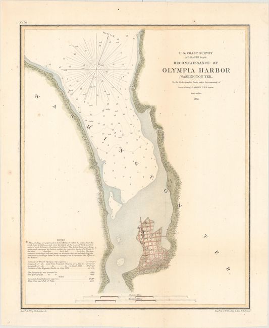
Subject: Olympia, Washington

Period: 1856 (dated)

Publication:

Color: Hand Color

Size:
10.3 x 12.6 inches
26.2 x 32 cm
Download High Resolution Image
(or just click on image to launch the Zoom viewer)

The Office of Coast Survey is the oldest U.S. scientific organization, dating from 1807 when Congress directed that a "survey of the coast" be carried out. By 1836, it was called the U.S. Coast Survey and in 1878, the name was changed to the U.S. Coast and Geodetic Survey. Today the Office of Coast Survey is a division of the National Oceanic and Atmospheric Administration NOAA.

The survey teams, composed of civilians as well as Army and Naval officers, charted the nation's waterways and produced a wide array of reports, survey charts, hydrographic studies of tides and currents, astronomical studies and observations, and coastal pilots. These charts are an important record of the changing nature of the nation's coastlines. In additional to coastal charts, the U.S. Coast and Geodetic Survey produced land sketches, Civil War battle maps, and the early aeronautical charts.

This hydrographic survey of Budd Inlet, at the southern end of Puget Sound, was published just three years after Washington Territory was formed and Olympia was named the provisional capital. Olympia, shown as a bird's-eye plan, was not incorporated as a town until January 1859. The hydrography for the chart was executed under the command of Lieutenant Commander J. Alden.

References:

Condition: B+

Issued folding, now flattened and backed with Japanese tissue. There are a few small spots of foxing and minor toning along the folds.

Estimate: $110 - $140

Sold for: $80

Closed on 2/17/2016

Archived