Catalog Archive
Auction 156, Lot 231

"United States. Western States, Including California, Oregon, Utah, Washington, New Mexico, Nebraska, Kansas, Indian Territory &c.", Black, Adam & Charles

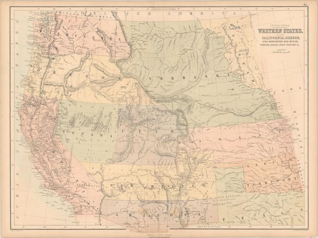
Subject: Western United States

Period: 1861 (circa)

Publication: Black's General Atlas

Color: Hand Color

Size:
22.1 x 16.7 inches
56.1 x 42.4 cm
Download High Resolution Image
(or just click on image to launch the Zoom viewer)

This Scottish-produced map focuses on the early territorial configurations in the West. Washington and Oregon extend to the Continental Divide, the huge Nebraska Territory from the Canadian border to the newly formed Dacotah at the Missouri River. The over-sized Kansas Territory stretches to the Rocky Mountains. The Confederate Territory of Arizona lies beneath New Mexico Territory, between Texas to California. Utah and Nevada have a rare configuration as the boundary line deviates from vertical near Sevier Lake and follows the Virgin River south-southwestward. The map is filled with detail including forts, Indian Lands, topographical and watershed, etc. Drawn and engraved by John Bartholomew. Using an early technique, it is " Printed in Colours by Fr. Schenck, Edinburgh."

References:

Condition: B+

A few spots of foxing in Arizona and light toning along edges of sheet, else clean and bright.

Estimate: $200 - $230

Sold for: $300

Closed on 2/17/2016

Archived