Catalog Archive
Auction 156, Lot 225

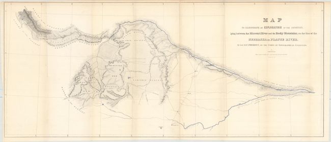
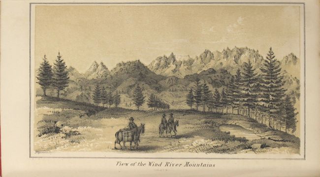
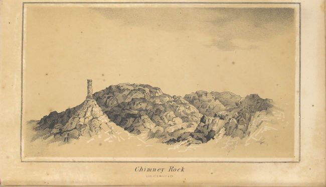
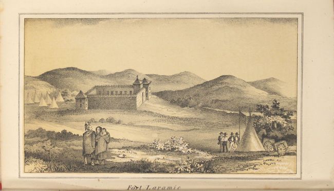
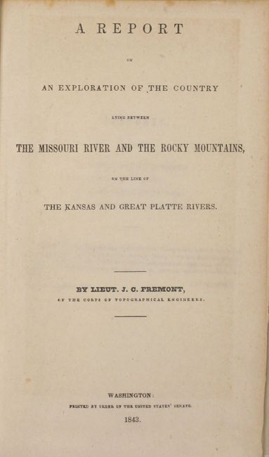
"Map to Illustrate an Exploration of the Country Lying between the Missouri River and Rocky Mountains, on the Line of the Nebraska or Platte River [with report]", Fremont, John Charles

Subject: Western United States

Period: 1843 (published)

Publication: Sen. Doc. 243, 27th Congress, 3rd Session

Color: Hand Color

Size:
32.5 x 14 inches
82.6 x 35.6 cm
Download High Resolution Image
(or just click on image to launch the Zoom viewer)

This detailed map is from Fremont's first expedition to the Rockies in 1842. It locates Medicine Bow Mountains, New Park Mountains, Wind River Mountains, the Laramie Plains, and St. Vrain's Fort and extends eastward to the confluence of the North and South forks of the Platte River. Fremont surveyed the Oregon Trail as far as South Pass and then explored the Wind River Range of the Rocky Mountains. These mountains form a portion of the Continental Divide and had been the subject of considerable spurious cartography prior to this exploration. Wheat describes the maps as "a highly creditable production" that is free of "imaginary geography." Fremont employed Kit Carson as a guide and Charles Preuss as a cartographer, and despite losing their barometer and other instruments when one of their rafts sank, the expedition was a success and launched Fremont into national prominence. The map is on two joined sheets, as issued.

The map is accompanied by the original and complete 207-page report that includes six illustrative plates featuring tinted lithographs of "View of the Wind River Mountains," "Chimney Rock," and "Fort Laramie." Rebound in red faux-leather with tips over simulated brown cloth-covered boards.

References: Wheat (TMW) #464.

Condition: B+

The map is clean and bright with a little faint toning and an edge tear at left that extends 0.5" into the image. Text and plates have occasional scattered foxing. The modern binding is pristine.

Estimate: $700 - $900

Sold for: $750

Closed on 2/17/2016

Archived