Catalog Archive
Auction 156, Lot 166

"Der Oestliche Theil der Vereinigten Staaten von Nord America Nebst dem Bewohntesten Theile von Canada", Weiland, Carl Ferdinand

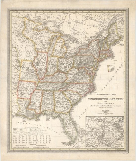
Subject: Eastern United States

Period: 1835 (dated)

Publication: Allgemeiner Hand Atlas

Color: Hand Color

Size:
20.5 x 24.4 inches
52.1 x 62 cm
Download High Resolution Image
(or just click on image to launch the Zoom viewer)

This detailed map of the United States gives excellent information on towns, rivers, roads, railroads, and topography. The large Northwest Territory incorporates most of Wisconsin and Minnesota, while the District der Sioux and the District Osage lie to the west. Four inset maps depict Washington, DC and Baltimore, Boston, New York City, and Philadelphia and Trenton. A very uncommon issue.

References:

Condition: B+

Original outline color with overall creasing that has been pressed flat and is only lightly visible. There is minor soiling and several tears confined to the blank margins that have been archivally repaired.

Estimate: $350 - $450

Unsold

Closed on 2/17/2016

Archived