Catalog Archive
Auction 155, Lot 99
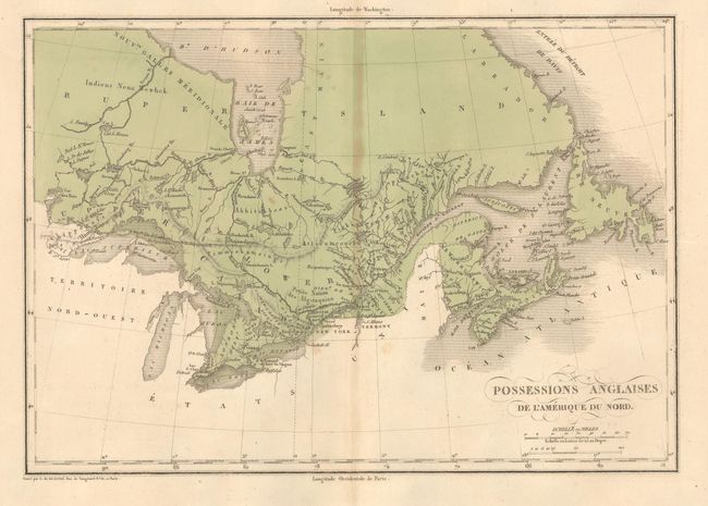
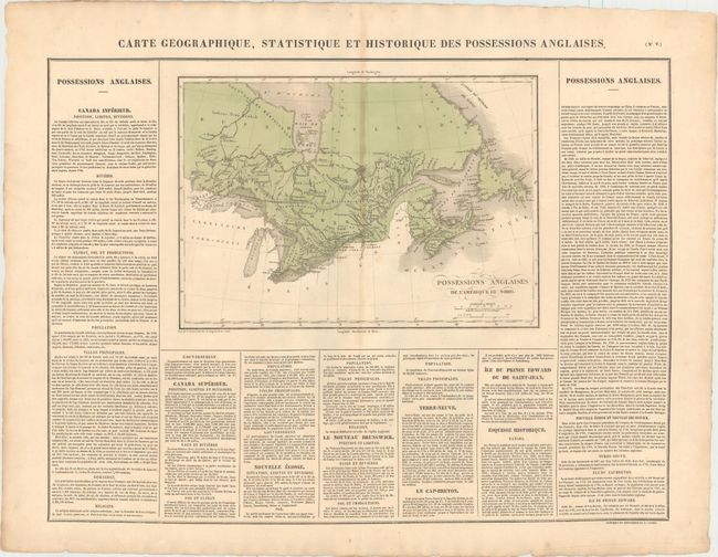
"Carte Geographique, Statistique et Historique des Possessions Anglaises", Buchon, Jean Alexandre
1 of 2
Subject: Canada
Period: 1825 (circa)
Publication: Atlas Geographique, Statistique, Historique et Chronologique…
Color: Hand Color
Size:
13.9 x 9.8 inches
35.3 x 24.9 cm
Download High Resolution Image
(or just click on image to launch the Zoom viewer)
(or just click on image to launch the Zoom viewer)