Catalog Archive
Auction 155, Lot 8
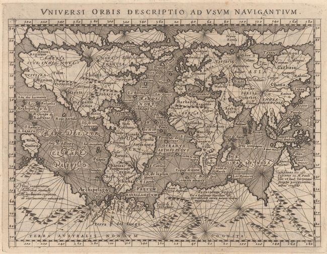
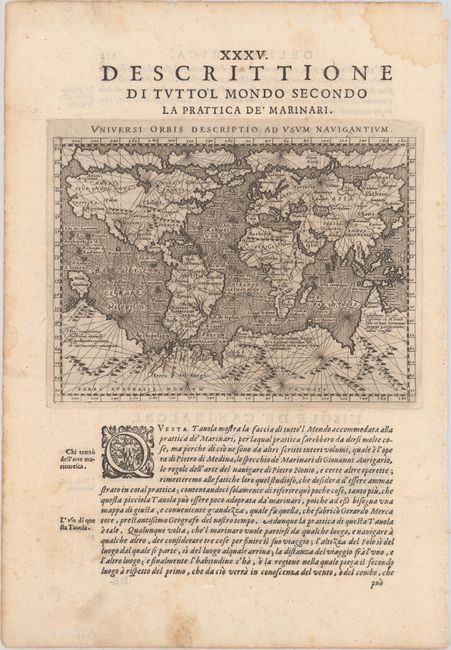
"Universi Orbis Descriptio ad Usum Navigantium", Magini and Porro
1 of 2
Subject: World
Period: 1598 (published)
Publication: Geografia Cioe Descrittione Universale della Terra...
Color: Black & White
Size:
6.9 x 5 inches
17.5 x 12.7 cm
Download High Resolution Image
(or just click on image to launch the Zoom viewer)
(or just click on image to launch the Zoom viewer)