Catalog Archive
Auction 155, Lot 484
"A Chart of the Sea Coasts of Algrave and Andalusia Between Cape St. Vincent and the Strait of Gibralter and C Spartel...", Mount & Page
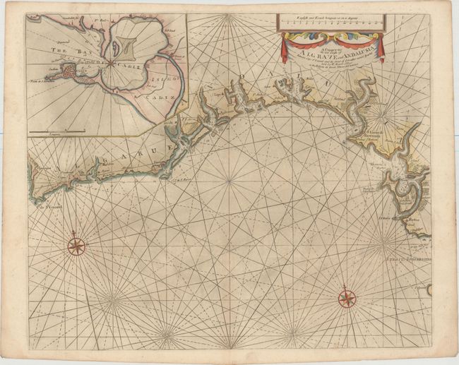
Subject: Southern Portugal & Spain
Period: 1757 (circa)
Publication: The English Pilot ... Southern Navigation
Color: Hand Color
Size:
20.6 x 17.1 inches
52.3 x 43.4 cm
Download High Resolution Image
(or just click on image to launch the Zoom viewer)
(or just click on image to launch the Zoom viewer)