Catalog Archive
Auction 155, Lot 347

NO RESERVE

"An Accurate Map of the West Indies Drawn from the Latest and Most Approved Maps & Charts", Anon.

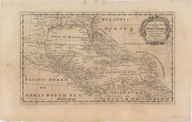
Subject: Gulf of Mexico & Caribbean

Period: 1785 (circa)

Publication:

Color: Black & White

Size:
11.6 x 6.9 inches
29.5 x 17.5 cm
Download High Resolution Image
(or just click on image to launch the Zoom viewer)

This handsome map covers the southern United States, eastern Mexico, Central America, the West Indies, and the northern part of South America. There is excellent detail of the Caribbean islands with numerous place names identified along the coastlines, and the southern tip of Florida is depicted as an archipelago. A decorative cartouche and compass rose complete the composition.

References:

Condition: B

Light uneven toning and a few small spots in the image.

Estimate: $120 - $150

Sold for: $35

Closed on 11/18/2015

Archived