Catalog Archive
Auction 155, Lot 142
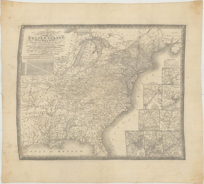
The Only Mitchell Map to be Printed on Silk
"[Fabric Map] Mitchell's Map of the United States; Showing the Principal Travelling, Turnpike and Common Roads; on Which Are Given the Distances in Miles from One Place to Another...", Mitchell, Samuel Augustus
Subject: Eastern United States
Period: 1836 (dated)
Publication:
Color: Black & White
Size:
23.6 x 19.1 inches
59.9 x 48.5 cm
Download High Resolution Image
(or just click on image to launch the Zoom viewer)
(or just click on image to launch the Zoom viewer)