Catalog Archive
Auction 154, Lot 94

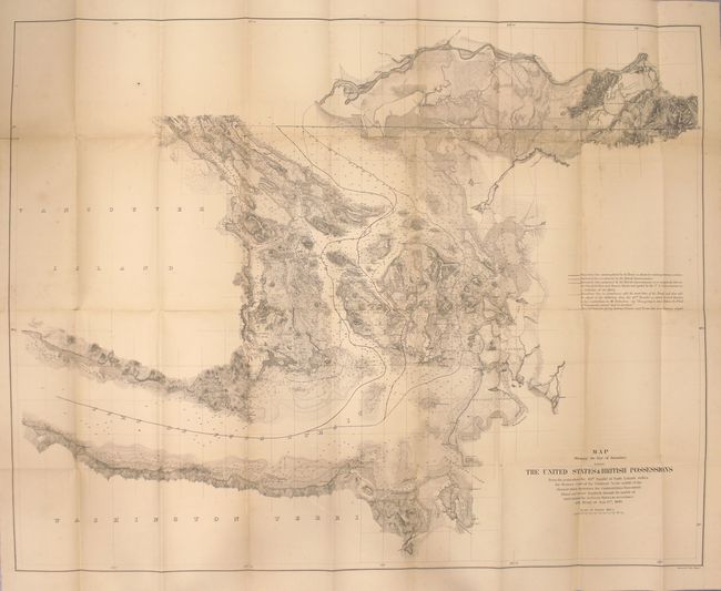
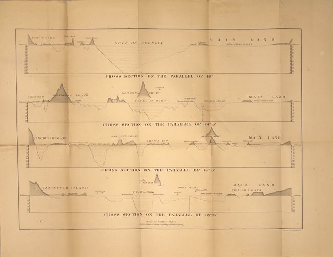
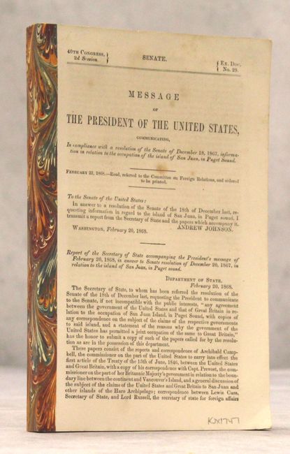
"Map Showing the Line of Boundary between the United States & British Possessions...", U.S. Government

Subject: Canada & United States

Period: 1868 (published)

Publication: Sen. Ex. Doc. 29, 40th Congress, 2nd Session

Color: Black & White

Size:
36.1 x 28.2 inches
91.7 x 71.6 cm
Download High Resolution Image
(or just click on image to launch the Zoom viewer)

In 1846 the Treaty of Washington (Oregon Treaty) contained a clause about the sea boundary following the "middle of the channel," thus leading to a dispute that would not be resolved until 1872 (see the following lot for maps pertaining to that agreement). This map shows three proposed boundaries between the U.S. and British Columbia introduced to resolve the dispute. In arbitration Kaiser Wilhelm awarded to the U.S. the boundary it claimed (the western most of the lines). A very detailed and early depiction of the San Juan Islands. Still bound into the 270-page report with additional folding profile plate.

References: Phillips (Maps) p. 898.

Condition: B

Map is lightly toned with a few spots of foxing and several short splits at fold intersections mostly closed on verso with archival tape. Minor tape repairs in the left blank margin. Text is clean and bright.

Estimate: $400 - $500

Sold for: $250

Closed on 9/16/2015

Archived