Catalog Archive
Auction 154, Lot 774

Complete Matching Set

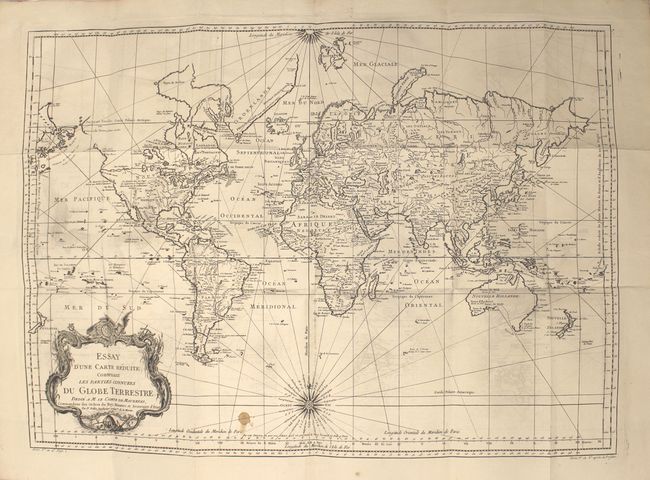
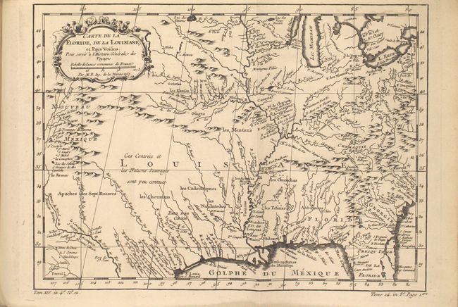
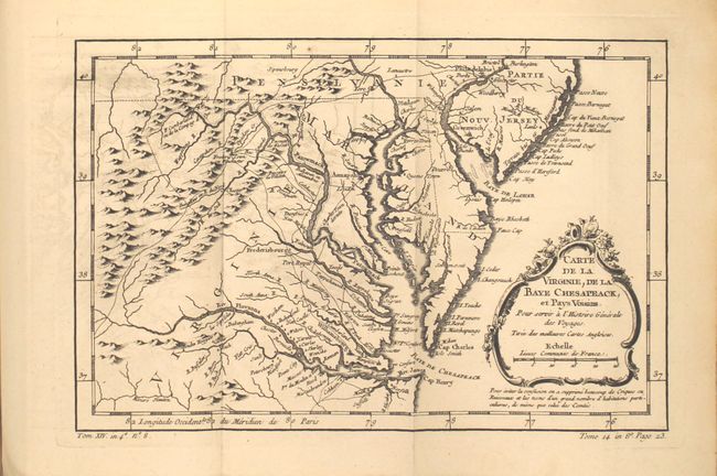
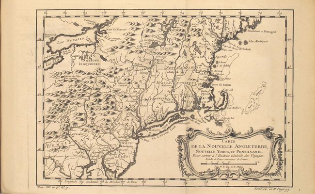
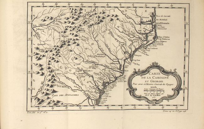
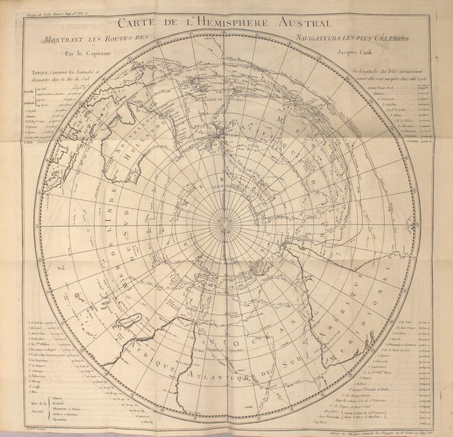
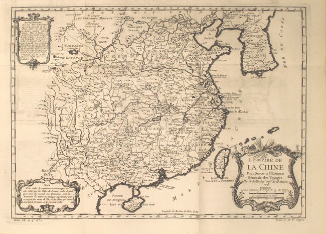
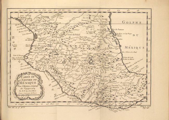
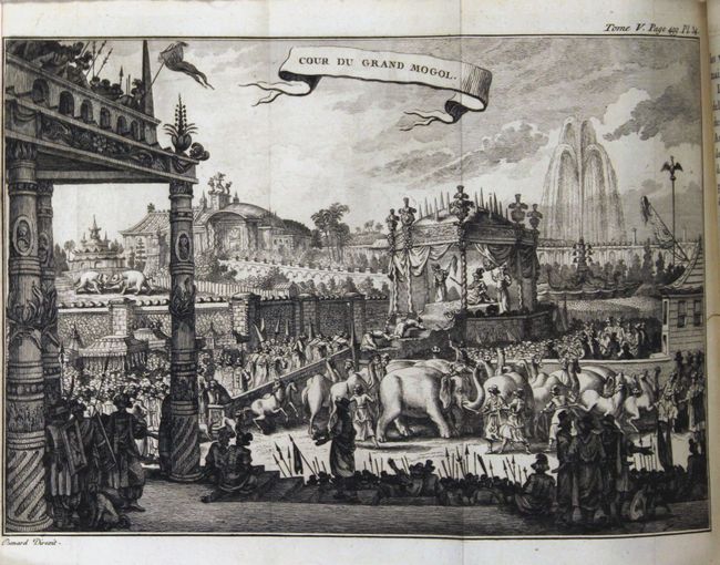
"[Lot of 24] Abrege de l'Histoire Generale des Voyages", La Harpe, Jean Francis de

Subject: Exploration and Surveys

Period: 1780-86 (published)

Publication:

Color: Black & White

Size:
5.1 x 7.8 inches
13 x 19.8 cm
Download High Resolution Image
(or just click on image to launch the Zoom viewer)

This lovely set is La Harpe's abridgement of Antoine Francois Prevost's history of voyages. Prevost's Histoire Generale des Voyages was published in multi-volume sets beginning in 1746 in both quarto and octavo editions, with some sets containing as many as 80 volumes. La Harpe edited Prevost's work, eliminating unnecessary and uninteresting passages, and updating it with information on new voyages that had been completed since the prior publication. La Harpe's edition was initially conceived as a 21-volume set, and was augmented by two additional volumes on Cook's third voyage in 1786. This set also includes an Atlas volume (measuring 8.0 x 10.6") complete with 74 maps, of which 66 are folding and 8 are single-page. There are large maps of the world and South Pole, as well as maps relating to North America (20), South America (12), Africa (12), Asia (20), and the oceans (8). The key maps in the Atlas volume are:

A. Essay d'une Carte Reduite, Contenant les Parties Connuees du Globe Terrestre (27.2 x 19.5")
B. Carte de la Floride, de la Louisiane (11.8 x 8.6")
C. Carte de la Virginie, de la Baye Chesapeack (11.2 x 7.4")
D. Carte de la Nouvelle Angleterre, Nouvelle Yorck, et Pensilvanie (11.6 x 8.0")
E. Carte de la Caroline et Georgie (11.1 x 7.3")
F. Carte du Golphe du Mexique et des Isles de l'Amerique (14.8 x 10.7")
G. L'Empire de la Chine (15.7 x 11.2")
H. Carte de l'Empire du Japon (12.3 x 8.4")
I. Carte de l'Hemisphere Austral Montrant les Routes des Navigateurs les Plus Celebres par le Capitaine Jacques Cook (20.8 x 20.8")

The text volumes include numerous additional engravings depicting natives from various lands, showing their typical costumes and customs. One additional map appears in the text volumes: "Carte de la Partie Septentrionale de la Mer du Sud." An index with the complete list of chapters for the first 21 volumes appears at the beginning of Volume I.

23 volumes in 12mo. Each volume has between 418-671 pages. Original bindings in full leather with raised bands, gilt tooling, and red leather title labels on spine. Marbled endpapers and original ribbon page markers. The Atlas volume has an identical spine as the other volumes with marbled paper covered boards.

Please contact us for a complete list of maps in the Atlas volume.

References:

Condition: B+

The condition code is for the maps, which are clean and bright with crisp, dark impressions. The majority of the folding maps have minor to light offsetting, with a few exhibiting moderate offsetting. The world map has a stain at bottom, the maps of South America and the North Atlantic each have a tiny binding tear, and the map of the South Pacific has a small hole above the title. On the atlas volume, the hinges are starting, the covers are rubbed, and the spine has several small chips. The 23 text volumes are exceptionally clean and bright with tight bindings and minor wear to the covers (A/A+). A couple of pages are loose, and there are very minor professional repairs to a couple of pages.

Estimate: $3,250 - $4,000

Sold for: $2,750

Closed on 9/16/2015

Archived