Catalog Archive
Auction 154, Lot 76
"Stromgebiet von Nordamerica nach den Besten Quellen...", Radefeld, Carl Christian Franz
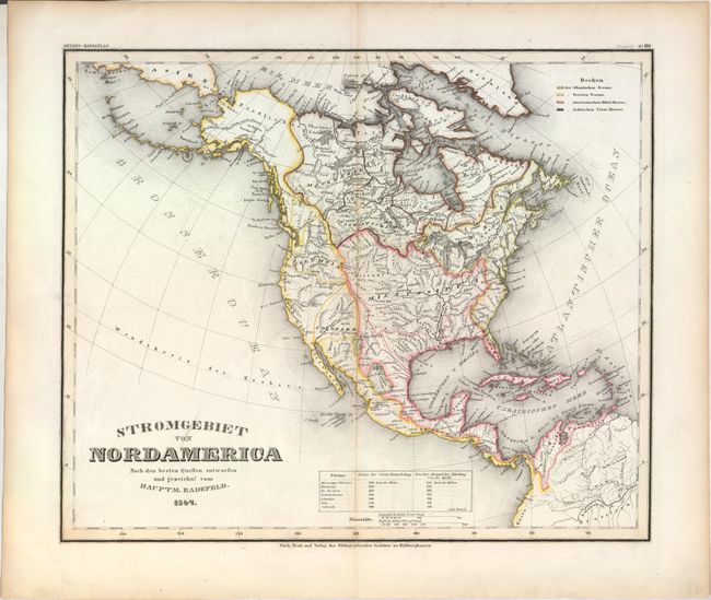
Subject: North America
Period: 1847 (dated)
Publication: Meyer's Handatlas
Color: Hand Color
Size:
14.1 x 11.8 inches
35.8 x 30 cm
Download High Resolution Image
(or just click on image to launch the Zoom viewer)
(or just click on image to launch the Zoom viewer)