Catalog Archive
Auction 154, Lot 767

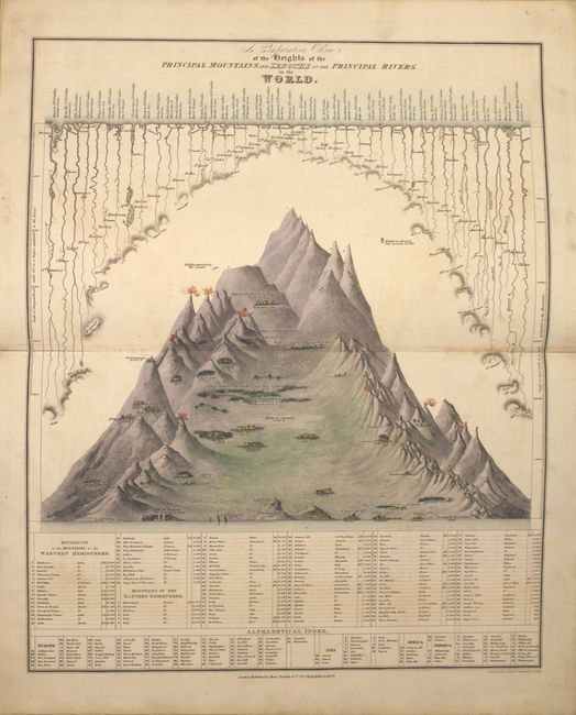
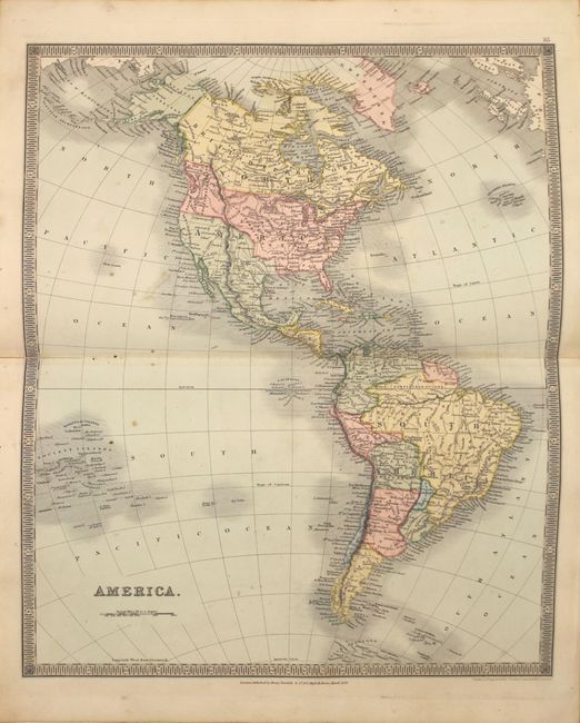
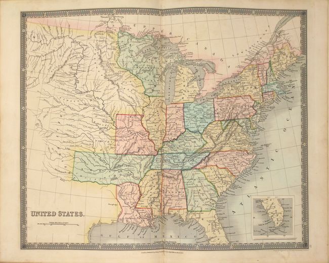
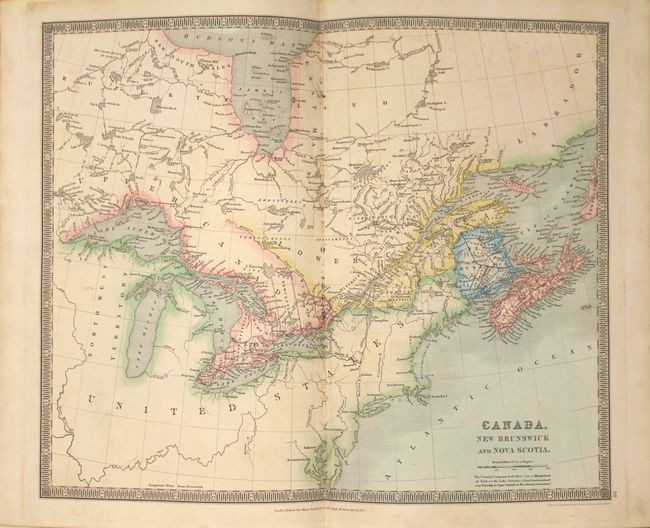
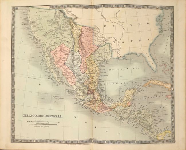
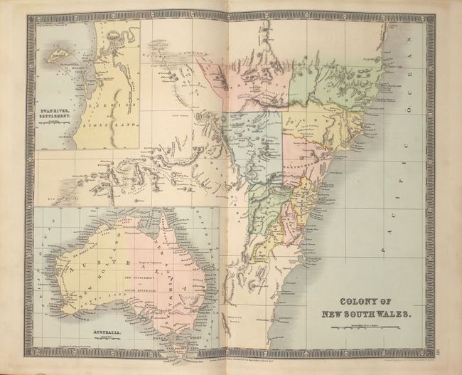
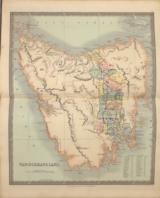
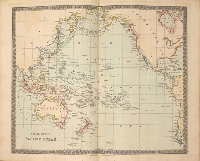
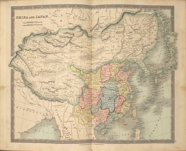
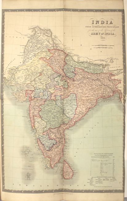
Teesdale's Full-Color Atlas Featuring Detailed Maps of India and Australia

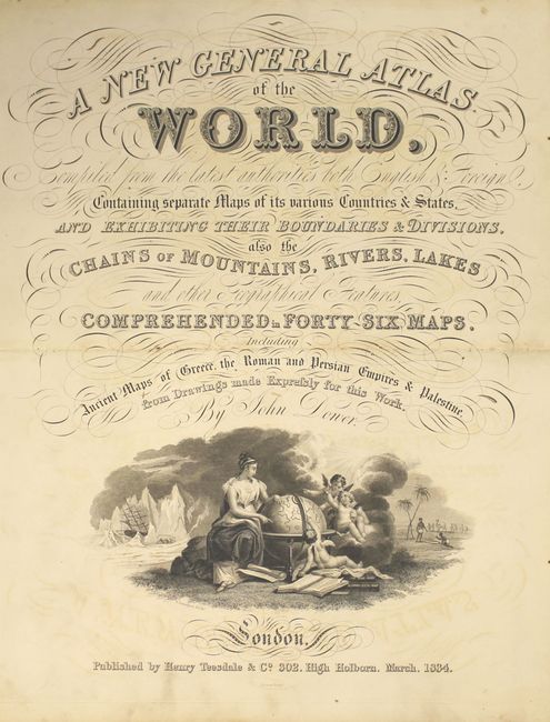
"A New General Atlas of the World, Compiled from the Latest Authorities Both English & Foreign, Containing Separate Maps of Its Various Countries & States...", Teesdale, Henry

Subject: Atlases

Period: 1834 (published)

Publication:

Color: Hand Color

Size:
10.5 x 15 inches
26.7 x 38.1 cm
Download High Resolution Image
(or just click on image to launch the Zoom viewer)

A fine British atlas containing 46 maps elegantly drawn and engraved by John Dower. The maps cover the world and show the full extent of the British Empire with consistent coloring throughout the atlas. All the maps are presented with excellent detail including roads, railways and canals. The large, foldout map of India shows a detailed view of the lands controlled by the British East India Company and the settlements of other European powers. The two maps of Australia (Colony of New South Wales and Van Diemen’s Land) show the extent of exploration, settlement and mining areas. The map of the Americas features a Fifty-Four Forty or Fight border with the U.S. extending well north into British America. At the back of the atlas are maps of the ancient world including the Empires of Greece, Rome and Persia, and a map of Ancient Palestine that includes an inset of Jerusalem. Hardbound in original boards and restored spine.

Henry Teesdale was a prominent London publisher and founding fellow of the Royal Geographical Society. He produced large-scale maps and charts and a number of fine atlases in the early part of the nineteenth century. He employed the most skilled draftsmen and engravers and his maps are renowned for precise detail and fine coloring. His maps, and particularly his atlases, are increasingly scarce on the market.

References:

Condition: B+

The maps are generally clean and bright with superb original color and are mostly in near fine condition (A). A handful of maps are in very good condition (B+) with light soiling or a short centerfold separation. The large folding map of India has a short fold separation at left with a crease along the right border. The map of England & Wales has moderate staining in the image and chips in the blank margins that have been repaired with tissue. Modern spine with apparently original boards, which are lightly stained with bumped edges. Overall a lovely example.

Estimate: $2,500 - $3,250

Sold for: $2,000

Closed on 9/16/2015

Archived