Catalog Archive
Auction 154, Lot 684
"British Posessions in Asia", Walker, J & C
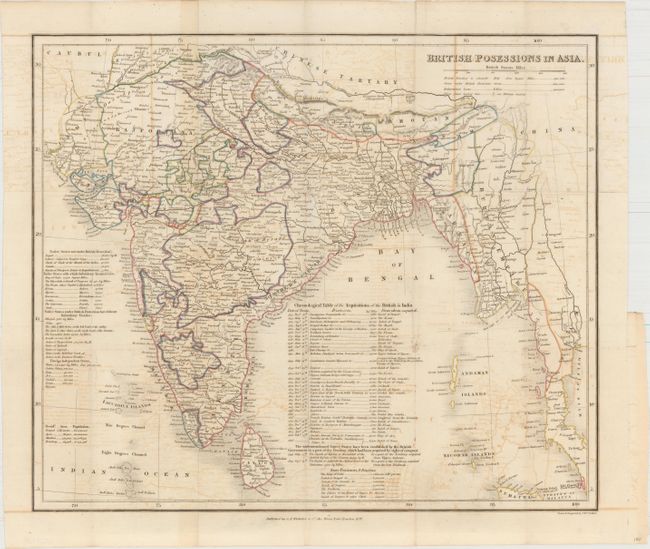
Subject: Southern Asia
Period: 1837 (dated)
Publication:
Color: Hand Color
Size:
16.6 x 14.1 inches
42.2 x 35.8 cm
Download High Resolution Image
(or just click on image to launch the Zoom viewer)
(or just click on image to launch the Zoom viewer)