Catalog Archive
Auction 154, Lot 58

"Tab: Geogr: Americae ad Emendatiora quae Adhuc Prodierunt Exempla...", Von Euler, Leonhard

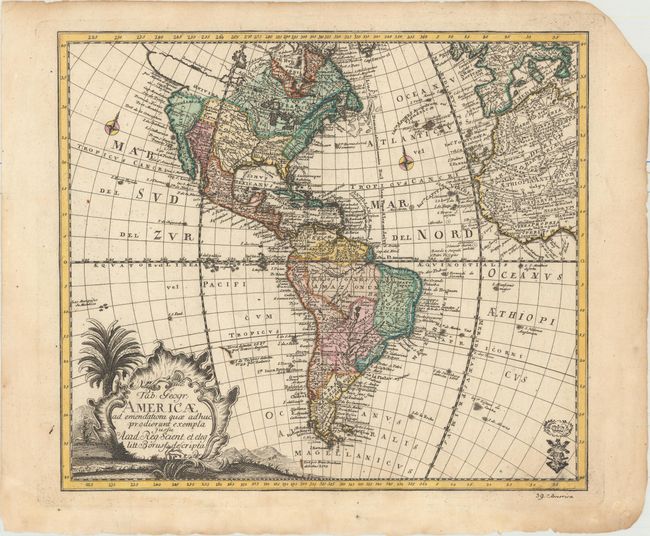
Subject: Western Hemisphere - America

Period: 1753 (circa)

Publication: Atlas Geographicus

Color: Hand Color

Size:
14 x 12.3 inches
35.6 x 31.2 cm
Download High Resolution Image
(or just click on image to launch the Zoom viewer)

This attractive map of the Americas extends to show parts of Africa and Europe and includes a large title cartouche in the South Pacific. In North America an elaborate system of rivers and lakes, including Lacus Ouinipigon, appear to make way for a Northwest Passage. The northern portion of California is labeled Nova Albion and farther north is the mythical land of Quivira. The British Colonies are confined east of the Appalachians with the French controlling Florida and Louisiana and the Spanish occupying the territories of New Mexico and California. The map notes when several islands were discovered along with the explorer involved. Engraved for the Royal Prussian Academy. Von Euler's initials are hidden in the title cartouche, and his stamp appears at bottom right.

References:

Condition: A

A nice impression on watermarked paper with original color, one small rust spot in the Pacific, and several minute worm holes only visible when held to light. There is light toning and soiling confined to the blank margins, and a chip at top right.

Estimate: $700 - $850

Sold for: $450

Closed on 9/16/2015

Archived