Catalog Archive
Auction 154, Lot 540
"Estats de la Couronne de Pologne Subdivises Suivant l'Estendue des Palatinats Dressee sur ce qu' en ont Donne Starovolsk...", Delisle/Covens & Mortier
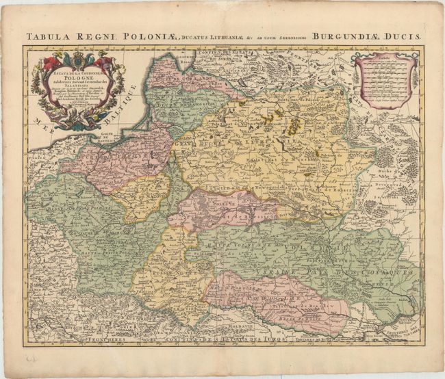
Subject: Eastern Europe
Period: 1705 (circa)
Publication:
Color: Hand Color
Size:
24 x 17.8 inches
61 x 45.2 cm
Download High Resolution Image
(or just click on image to launch the Zoom viewer)
(or just click on image to launch the Zoom viewer)