Catalog Archive
Auction 154, Lot 513

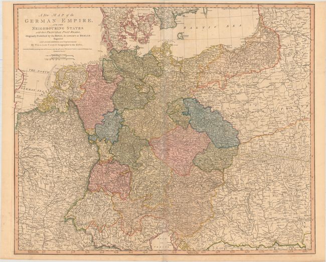
"A New Map of the German Empire, and the Neighbouring States with Their Principal Post Roads, Originally Published by the Royal Academy of Berlin...", Faden, William

Subject: Central Europe

Period: 1788 (dated)

Publication:

Color: Hand Color

Size:
29.9 x 24.9 inches
75.9 x 63.2 cm
Download High Resolution Image
(or just click on image to launch the Zoom viewer)

Large map of central Europe covering the region from Paris east to the Bug River, and from the Baltic Sea south to the Gulf of Venice. Shows political divisions, roads, rivers, topography, and numerous place names. Distance scales in German and English miles.

References: Shirley (BL Atlases) T.FAD-4a #29.

Condition: B+

Original color with faint toning along the centerfold. Issued folding with a tiny hole at the fold intersection.

Estimate: $170 - $200

Sold for: $100

Closed on 9/16/2015

Archived