Catalog Archive
Auction 154, Lot 266

"South Carolina",

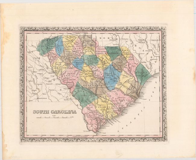
Subject: South Carolina

Period: 1835 (circa)

Publication:

Color: Hand Color

Size:
11.9 x 9.4 inches
30.2 x 23.9 cm
Download High Resolution Image
(or just click on image to launch the Zoom viewer)

This attractive early map of the state delineates 29 counties and details roads, towns and settlements. It locates the South Carolina Rail Road from Charleston to Hamburg which was completed in 1833, as well as several notations in reference to Revolutionary War battles including "Battle of the Cowpens," "Gates's Defeat" and "Hobkirks Hill." The map is a later edition of Finley's map of the state with the addition of a floral border surrounding his typical pink block border.

References:

Condition: A

A dark impression with original color and wide margins. There is a light damp stain in the left blank margin, far from the map image.

Estimate: $100 - $140

Sold for: $45

Closed on 9/16/2015

Archived