Catalog Archive
Auction 153, Lot 87

"[Lot of 2] Carte des Etats-Unis et du Canada avec la Division Actuelle en Dioceses [and] North America",

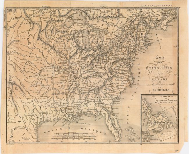
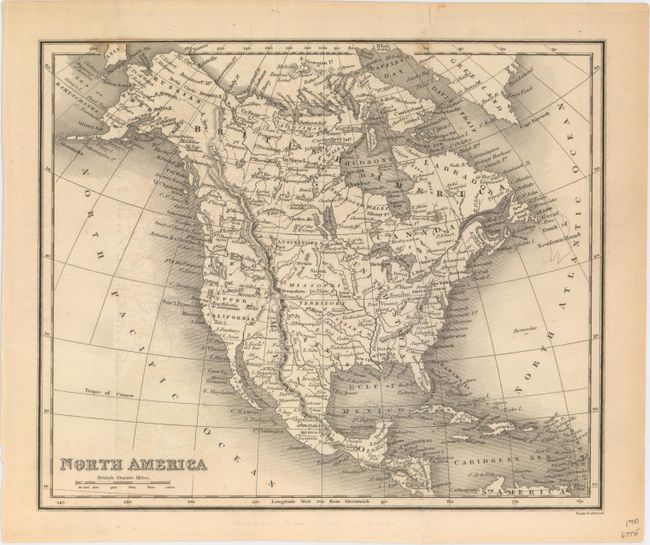
Subject: North America

Period: 1836-40 (circa)

Publication:

Color: Black & White

Size:
See Description
Download High Resolution Image
(or just click on image to launch the Zoom viewer)

A. Carte des Etats-Unis et du Canada avec la Division Actuelle en Dioceses, by Berthe, from Annales de la Propagation de la Foi, dated 1836 (9.6 x 7.6"). This small map depicts the eastern United States and Canada to just west of the 110th meridian. Texas is named but is still under Mexican control. Above the Red River is a huge Missouri Territory, and to its east Northwest Territory occupies northern Minnesota, Wisconsin, and the upper peninsula of Michigan. Published in a Catholic periodical, the map identifies various dioceses with a cross including Richmond, Pittsburgh, New Orleans and New York to name a few. Condition: Issued folding with light to moderate toning. A binding tear at right that just passes the neatline has been closed on verso with archival tape. (B)

B. North America, by Neele & Strand, circa 1840 (8.8 x 7.4"). This folding map of North America depicts the Independent Republic of Texas, with its border extending well above Santa Fe and Taos. While states are not named or delineated, a huge Missouri Territory occupies the region to the west of the Mississippi River. Oregon Territory occupies the northwest showing a correct boundary with Canada. Condition: Issued folding with faint offsetting, a few minor spots, and a fold separation that enters 1/2" into map at top and has been closed on verso with archival tape. (B+)

References:

Condition:

See description above.

Estimate: $150 - $180

Sold for: $55

Closed on 5/20/2015

Archived