Catalog Archive
Auction 153, Lot 589
"Sicilia Antiqua quae et Sicania et Trinacria Dicta", Blair, Rev. John
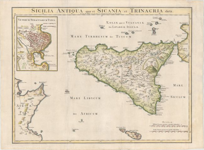
Subject: Sicily, Italy
Period: 1768 (circa)
Publication: The Chronology & History of the World...
Color: Hand Color
Size:
21.4 x 16.3 inches
54.4 x 41.4 cm
Download High Resolution Image
(or just click on image to launch the Zoom viewer)
(or just click on image to launch the Zoom viewer)